Archive
Maptitude Team Provides Sponsorship for FSU Geography Awareness Week & GIS Day
NEWTON, MASSACHUSETTS (USA) – The Geography Awareness Week will be held November 13 through November 16, 2018, by the Geography/GEOINT program at Fayetteville State University. There will be multiple activities over the
PrecisionHawk Chosen as DJI’s New Provider of Airspace Data in North America
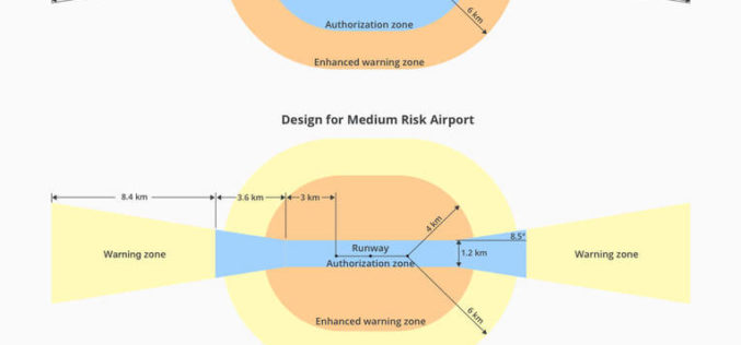
PrecisionHawk’s Low Altitude Traffic and Airspace Safety (LATAS) platform to replace AirMap PrecisionHawk, Inc. today announced a partnership with DJI, the world’s leader in civilian drones and aerial imaging technology, to improve
Bentley Acquires Agency9 to Realize Digital Twins for Every City
OpenCities Planner takes advantage of city-scale reality modeling to span GIS and BIM LONDON, U.K. – The Year in Infrastructure 2018 Conference – 15 October 2018 – Bentley Systems Incorporated, the leading global provider of comprehensive software solutions for
SimActive Releases Version 8.0 with 3D Modeling
October 16, 2018 – SimActive Inc. announces the release of version 8.0 with a new 3D modeling module for Correlator3DTM. The module allows the generation of 3D textured meshes to create
Golden Software Releases Preview of Enhanced Scientific Graphing Package
GOLDEN, Colorado, 15 October 2018 – Golden Software, a developer of affordable software for data visualization and analysis, has released Grapher Preview, an application that allows users of the Grapher
Carlson Connect Now Available for AutoCAD 2019
MAYSVILLE, Kentucky, U.S.A. (October 15, 2018) — Carlson Connect 2019 is now available on the Autodesk App Store, apps.autodesk.com, for $7.99. A collection of routines for transferring and converting data
Boundless Partners with the United Nations on the UN Open GIS Initiative
Boundless’ Open GIS Solutions Enable the UN to Leverage Open Technology and Open Data for Peacekeeping and other UN operations St. Louis, MO – Oct. 11, 2018 – Boundless, the
Global Mapper Adds Online Access to NEXTMap One™ Elevation Data from Intermap
Hallowell, Maine – October 11, 2018 – Blue Marble Geographics (bluemarblegeo.com) is pleased to announce the immediate availability of NEXTMap® worldwide elevation data, including Intermap’s newest generation NEXTMap One, as
Hexagon Digitalizes and Democratizes the Census Process with Complete Census Management Solution
NORCROSS, GA., October 10, 2018 – Hexagon’s Geospatial division is pleased to announce the launch of its total Population and Housing Census (PHC) management and workflow solution, HxGN Smart Census. This
Spottitt Launches Cloud-Based Geospatial Data Analysis on DNV GL’s Veracity Platform
Online Imagery Portal with Analytics HARWELL, United Kingdom, 9 October 2018 – Spottitt Ltd. has launched a cloud-based workspace that puts massive satellite imagery sources and advanced analysis capabilities at


