

Archive
Remote Sensing
Taiwan Launches FORMOSAT-8 for Sharper Satellite Imaging
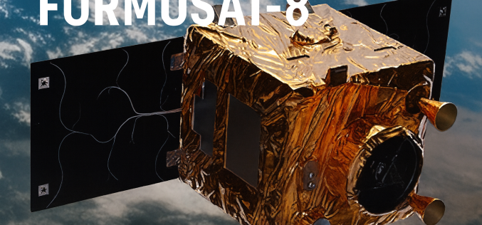
The first satellite of Taiwan’s home-grown earth-observation constellation, FORMOSAT-8, successfully blasted off on 28 November 2025 from the Vandenberg Space Force Base in California. Named “Chi Po-lin Satellite,” after the
LiDAR
Kathmandu Explores LiDAR for 3D City Mapping
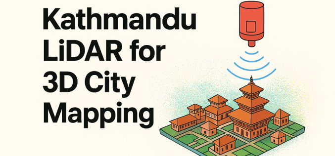
Kathmandu Metropolitan City (KMC) has recently announced plans to explore advanced LiDAR-based surveys to build detailed three-dimensional maps and a city-wide digital twin. In a recent session by the city’s
GIS
Tamil Nadu Adopts High-resolution Mapping to Overhaul Land Records
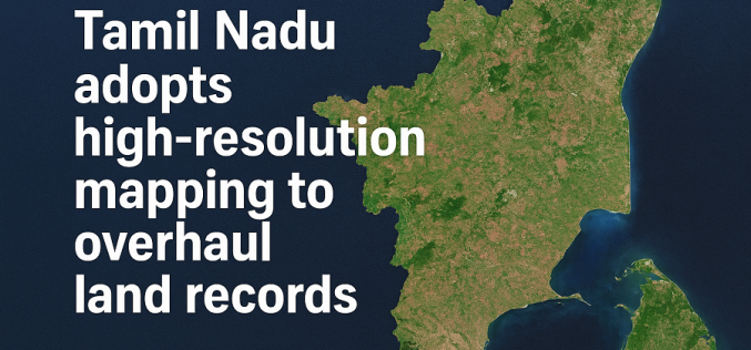
Tamil Nadu is preparing for a major upgrade in how land records are maintained, with the government launching a statewide project to use high-resolution mapping for modernising its land database.
