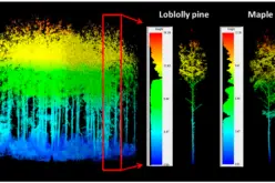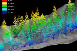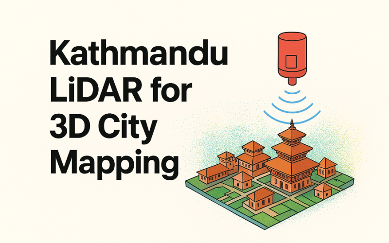
Kathmandu Metropolitan City (KMC) has recently announced plans to explore advanced LiDAR-based surveys to build detailed three-dimensional maps and a city-wide digital twin. In a recent session by the city’s Information Technology department, experts highlighted the benefits of Light Detection and Ranging (LiDAR). The method uses laser pulses to measure distance and topography, enabling creation of micro-level 3D maps of terrain, buildings, heritage sites, and infrastructure with very high accuracy.
According to the technology-division chief, the proposed LiDAR mapping will support not just geographic mapping but also infrastructure planning, heritage preservation, and disaster management across Kathmandu.
Why 3D city mapping matters
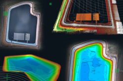
Traditional 2D maps often miss vertical details, subtle terrain variations, and structural complexities of urban environments. With 3D city mapping, planners can obtain high-resolution data on building heights, land slopes, heritage structures, and more. This richer data enables more informed decisions on urban planning, infrastructure upgrades, conservation, and emergency response.
Also Read – India to Assist Nepal in Launching First High School CubeSat ‘Munal’ Satellite
Moreover, the resulting “digital twin” — a virtual replica of Kathmandu’s physical environment — can integrate multiple layers of data (topography, buildings, heritage sites, utilities). Such a twin becomes a powerful tool for simulation, planning future developments, and managing unexpected events like disasters.
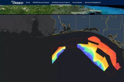
Globally, cities use similar LiDAR-driven digital twin initiatives to support urban planning, asset management, and risk mitigation.
What lies ahead
KMC’s exploration of LiDAR for 3D city mapping signals Nepal’s growing shift toward geospatial-technology driven urban management. If implemented fully, the initiative could enhance Kathmandu’s capacity for infrastructure planning, heritage conservation, and disaster resilience — all backed by precise, up-to-date spatial data.
However, a successful rollout will require careful survey planning, data processing capabilities, and collaboration between municipal bodies, heritage authorities, and technology teams.
In essence, Kathmandu’s move to adopt LiDAR-based 3D city mapping could mark a major step toward a modern, data-informed urban future.
Source: TechPana