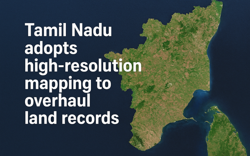
Tamil Nadu is preparing for a major upgrade in how land records are maintained, with the government launching a statewide project to use high-resolution mapping for modernising its land database. A new tender has been released to acquire satellite images with 30-centimetre resolution, covering the entire 1.3 lakh sq km of the state. The move aims to bring transparency, accuracy, and faster services for citizens who rely on land information.
The initiative will supply satellite imagery where each pixel reflects a 30 cm × 30 cm ground section. This level of clarity will help officials detect fine-scale features, improving boundary identification and land-use classification. All processed images will be integrated into the Tamil Nadu Geographic Information System (TNGIS), which serves as the state’s central repository for spatial data.
Also Read – Tamil Nadu Uses GIS to Protect Ramsar Sites
According to officials, modernising land records through high-resolution mapping will address long-standing challenges such as ambiguous land boundaries, overlapping claims, and delays in property transactions. Citizens who apply for land documents, building approvals, or legal verifications are expected to benefit from quicker and more accurate services. The updated imagery will also support dispute resolution by providing authoritative visual evidence.
Government departments will gain significantly from the project, particularly in planning new roads, water pipelines, housing schemes, industrial corridors, and disaster-management operations. Reliable geospatial data enables better decision-making and helps reduce costly errors during large-scale construction.
The tender notice states that interested agencies must submit their bids by December 9. Once selected, the agency will be given six months to complete the work, with the first set of satellite images expected within three months. These images will then undergo processing, geo-correction, and integration into the TNGIS system before being made available to various departments.
Experts note that Tamil Nadu’s decision to adopt high-resolution mapping places it among the leading states in India using modern geospatial tools for land governance. Moving from traditional paper-based records to a digital, map-driven system could set a benchmark for accuracy and accountability.
With this initiative, Tamil Nadu aims to provide citizens with clearer, faster, and more trustworthy land-related services. The shift marks a transformative step toward a future where land records are transparent, verifiable, and supported by precise geospatial intelligence.
Source: The New indian Express