

Posts From GIS Resources

Velodyne LiDAR Appoints Robert Brown as Chief Financial Officer
August 08, 2017 – SAN JOSE, Calif.–(BUSINESS WIRE)–Velodyne LiDAR Inc., the world leader in 3D real-time perception systems for autonomous vehicles, today announced Robert (Bob) Brown has joined the company as

CompassDrone™ Announces CIRRUAS Drone Program for Public Safety Agencies
CENTENNIAL, Colorado, 10 August 2017 – CompassDrone, developers of unmanned aerial solutions for high-quality data collection, will unveil a comprehensive drone-based mapping program designed specifically for Public Safety applications. The
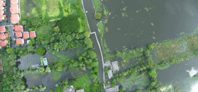
Tamil Nadu Government Started UAV Survey to Map Flood-Prone Areas
According to recent news by The Hindu, the Tamil Nadu Government in association with Anna University has launched an Unmanned Aerial Vehicle (UAV) for Photogrammetric mapping of water resources in Cuddalore

Esri and Smart Dubai Sign Enterprise Agreement
Agreement Empowers Dubai Government with Resources for Smart City Advancement August 8, 2017 – Redlands, California—Esri, the global leader in spatial analytics, announced today that Smart Dubai, the government agency leading
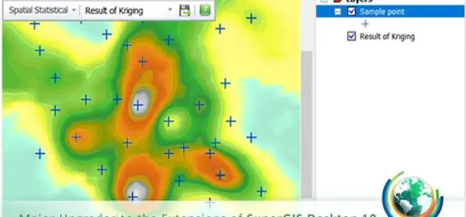
Upgraded Extensions of SuperGIS Desktop Provide More Insights
Before the end of this July, Supergeo will release a new update of SuperGIS Desktop 10 along with brand-new SuperGIS Spatial Statistical Analyst and Biodiversity Analyst. Developed by Supergeo Technologies
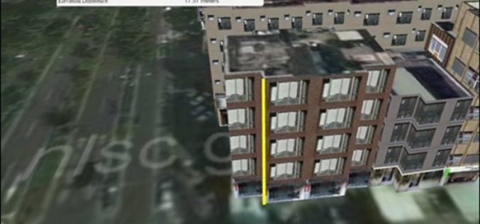
Managing Assets from Different Angles- SuperGIS 3D Earth Server
3D visualization is an important breakthrough in how geographic data could be displayed on the computer. Instead of the traditional 2D form, SuperGIS 3D Earth Server can easily present data
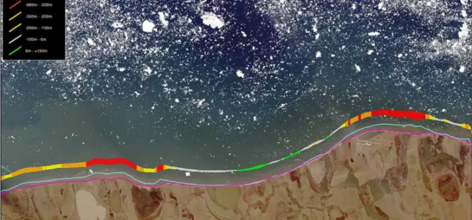
TCarta Marine Changes the Way Dynamic Environments are Managed and Monitored with Introduction of Vector Shorelines
DENVER, Colorado, USA, 8 August 2017 – TCarta Marine has made the world’s most dynamic environments easier to monitor and manage with the introduction of its new multi-scale Shoreline Products. Offered in

Leica Webinar: Leica Captivate Pipeline: A Transformative Approach to Pipeline Surveying
Leica Captivate Pipeline: A Transformative Approach to Pipeline Surveying Tue, Aug 8, 2017 11:00 AM – 12:00 PM PDT With more than 30,000 miles of pipeline planned and under construction
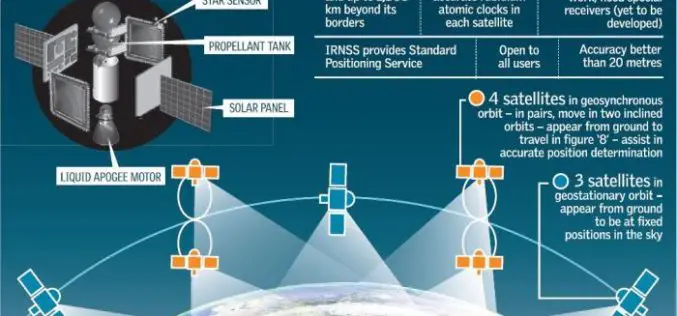
Isro to Sign MoU with CSIR-NPL for Time and Frequency Traceability Services for NavIC
According to recent news reported by TOI, the Indian Space Research Organisation (ISRO) will on Friday sign an MoU with CSIR-National Physical Laboratory (NPL) for time and frequency traceability services. The move

TerraGo Mobile Apps Add New Advanced Mapping Features and Laser Range Finder Integration
TerraGo Mobile Apps Add New Advanced Mapping Features and Laser Range Finder Integration TerraGo Edge 4.1 and any app created with the TerraGo Magic zero-code app platform includes enhanced mapping and surveying features
