
Posts From GIS Resources
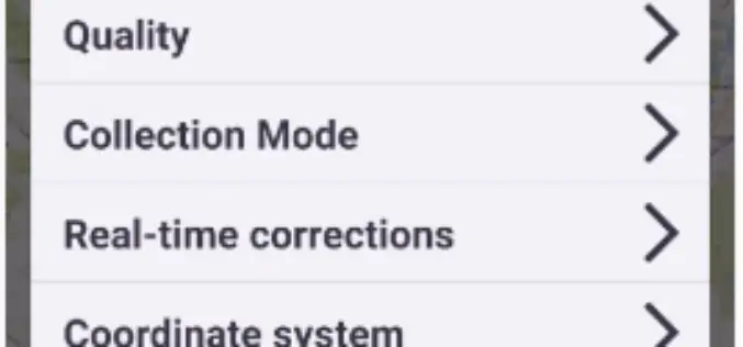
Trimble Introduces New Android Application for Field Surveying and Data Collection
Easy-to-Use Trimble Penmap for Android Simplifies Field Work SUNNYVALE, Calif., July 26, 2017—Trimble (NASDAQ: TRMB) introduced today Trimble® Penmap® for Android™, a cloud-connected application for field surveying and high-accuracy Geographic
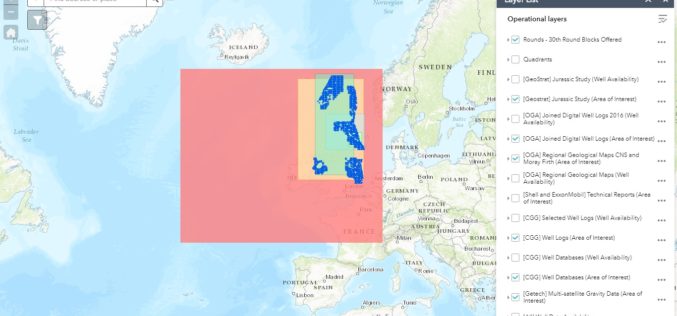
OGA Makes Another Set of Data Packages Openly Available for Oil and Gas Explorers
The Oil and Gas Authority (OGA) is continuing to make more and more data openly available in an effort to help revitalise exploration of oil and gas in the UK
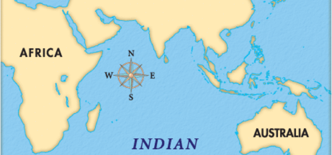
Indian Ocean Level Rising Faster Than Compared to the Global Estimate
IANS – New Delhi: Global warming is leading to an accelerated rise of the sea level in the north Indian Ocean as compared to the global estimate, Parliament was informed on

CNH Industrial and Trimble Announce Data Sharing Connectivity
Integration Enables Farmers to Access their CNH Task Data within the Trimble Ag Software Solution ST. LOUIS, Mo., July 25, 2017—Trimble (NASDAQ: TRMB) and CNH Industrial (NYSE: CNHI / MI:

INTERGEO – Bridge to a Digital Future
Karlsruhe/Berlin, 24, July 2017 | When Geo IT experts from the worlds of business and science sat down together at a roundtable for INTERGEO and got talking, they put together

Esri Story Map: Unusual Indian Weddings that Challenged Stereotypes
Contributed By:- Here are the wedding stories of young couples and their families who dared to fight stigmas and break stereotypes. These stories rekindle faith in humanity and leave you

Airbus-built Sentinel-5 Precursor Satellite Ready for Launch
Stevenage 20/07/2017 – Europe’s pollution monitoring satellite Sentinel-5 Precursor is ready to leave Airbus’ Stevenage site for launch on a Rokot rocket from Plesetsk Cosmodrome, Russia.Sentinel-5 Precursor is part of
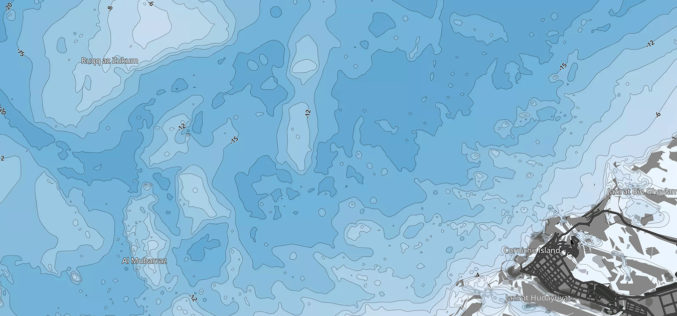
ADSIC Contracts Proteus FZC to Provide TCarta Marine Spatial Data Package for Arabian Gulf
Abu Dhabi, 20th July 2017 – Proteus FZC, Middle East’s leading provider of remote sensing services has been contracted by the Abu Dhabi Systems & Information Center (ADSIC) to provide 2m
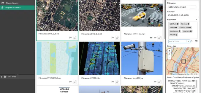
LizardTech and Extensis Optimize Digital Asset Management for Geospatial Data
LizardTech and Extensis Optimize Digital Asset Management for Geospatial Data Latest Version of Extensis Portfolio Extends DAM to Geospatial Industry; Solution Indexes, Catalogs, Shares MrSID Files Portland, Ore.— July 19, 2017 — LizardTech®

SuperGeo Webinar: 3D GIS Cadastral Mapping
SuperGeo Webinar: 3D GIS Cadastral Mapping Wednesday, August 16, 2017 | 10:00 AM (GMT+2) Your local time In the past, landscapes in the real world must be transformed into 2D and then
