

Posts From GIS Resources
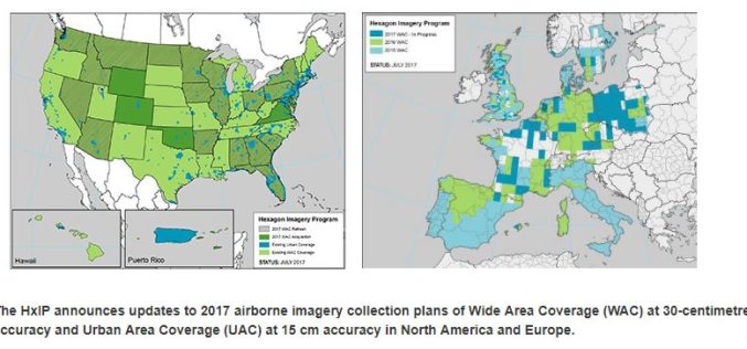
Hexagon Imagery Program Announces Updates to 2017 Airborne Imagery Collection Plans
Latest imagery collection covers U.S., Canada, Europe, plans include territories, cities (WASHINGTON, D.C., Aug. 15, 2017) – The Hexagon Imagery Program (HxIP), the premier source for professional airborne imagery provided

PM Modi Reviews Progress of Soil Health Cards and Pradhan Mantri Fasal Bima Yojana
In the Kharif season of 2016 and Rabi season of 2016-17, claims of over Rs. 7700 crores paid PMFBY: Over 90 lakh farmers benefitted August 21, 2017 – India, The
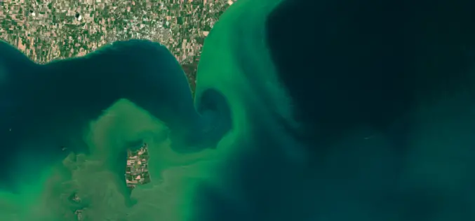
ARSET NASA Webinar: Introduction to Remote Sensing of Harmful Algal Blooms
Webinar: Introduction to Remote Sensing of Harmful Algal Blooms Dates: Tuesday, September 5, 2017 to Tuesday, September 26, 2017 Times: 11:00–12:00 and 21:00–22:00 EDT (UTC-4) Harmful algal blooms (HABs) can have a negative
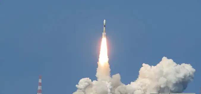
Japan Successfully Launches 3rd Satellite of Quasi-Zenith Satellite System
August 19, 2017 – Mitsubishi Heavy Industries, Ltd. and JAXA successfully launched H-IIA Launch Vehicle No. 35 (H-IIA F35) which encapsulates MICHIBIKI No. 3, (Quasi-Zenith Satellite System; geostationary orbit) at 2:29:00
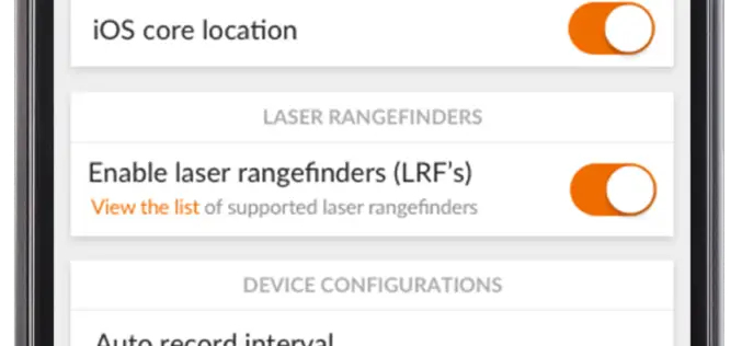
TerraGo Adds TopCon® GNSS Receiver Integration to Mobile Data Collection Platform
With TerraGo Magic, partners and customers can build custom mobile apps integrated with Sokkia high-accuracy receivers that deliver RTK cm-level performance to smartphones and tablets Washington, D.C. – August 14,
UrtheCast Announces the Signing of a Contract exceeding $100M for the Delivery of a SAR-XL Satellite as an “Accelerator Mission” for the OptiSAR™ Constellation
VANCOUVER, Aug. 14, 2017 /CNW/ – UrtheCast Corp. (TSX:UR) (the “Company”) announced today that it has entered into a contract with a confidential customer for the development and delivery of
Vricon among First Companies on GSA Earth Observations Solutions
McLean, VA – 14 August 2017 –Vriconannounced today that it is among the first companies to offer GEOINT solutions on the General Services Administration’s (GSA) new Earth Observations Solutions Special
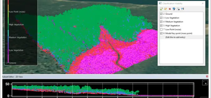
CARIS Bathy DataBASE 4.4 Released
Fredericton, NB, Canada – August 09, 2017 – Teledyne CARIS™ is pleased to announce the release of Bathy DataBASE™ (BDB) 4.4. This new version addresses the important areas of feature generalization
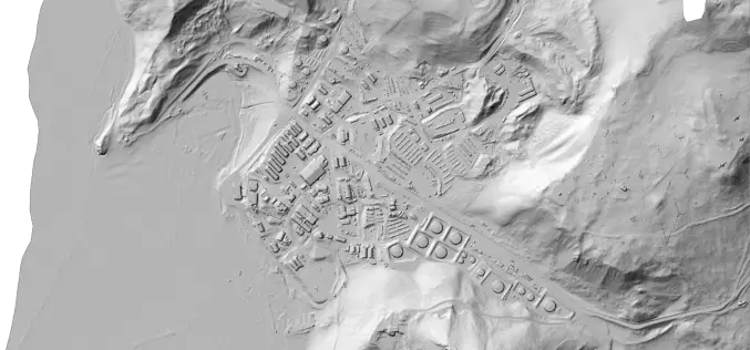
Portland State Laser Mapping Project Shows Global Warming Effects in Antarctica
(Portland, Ore.) Aug. 9, 2017 – Portland State University researchers and the National Science Foundation (NSF) have publically released high-resolution maps of the McMurdo Dry Valleys, a globally unique Antarctic
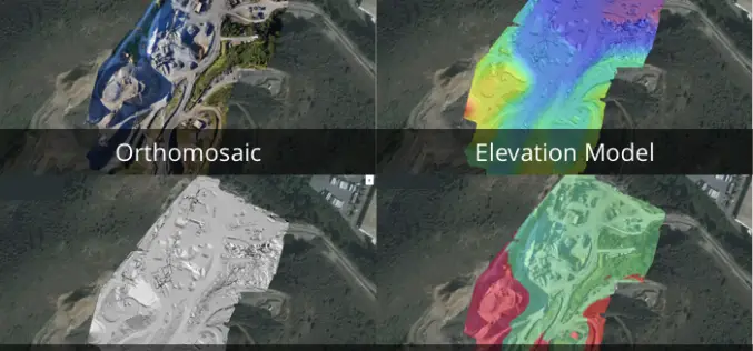
3 New Elevation Viewers, Now in Site Scan
August 9, 2017 – One of the most common uses for Site Scan is performing topographic surveys: you can use a drone to survey your site faster, safer, and more cost-effectively,
