

Posts From GIS Resources
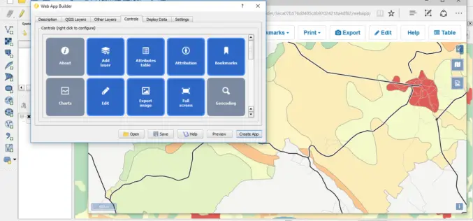
QGIS 2.14.1 Now Available from Boundless!
Boundless QGIS 2.14.1 is out the door! We are excited to share with your the latest offering of premier open-source desktop GIS technology. This release is available here and is

PhD Position: Methodological, Algorithm and Processing Chain Development for Analysis of Hyperspectral Image Data
The institute section “Land Surface” deals with the development of remote sensing methods based on various earth observation systems that are specifically adapted for the respective application scenarios. Key issues
GAIL to Use Drones to Secure Gas Pipelines
GAIL India, the country’s biggest gas transporter, will deploy drones on a pilot basis on its main trunk pipeline as part of higher safety measures it is implementing to secure

Notice Inviting Quotation for Supply of Total Station To IIT Patna
The Registrar, Indian Institute of Technology Patna invites quotations for supply of equipment details at ANNEXURE – I, in Single bid as indicated, in sealed cover, are hereby invited to

Punjab Government to Utilise Remote Sensing Satellites for Development
Punjab government on Monday said India should make use of its remote sensing satellites more efficiently for development in agriculture and rural and urban planning. “India, having the largest constellation

Chinese Internet Giant Baidu to Expand Mapping Services Abroad
According to recent news by the Shanghai Daily, Chinese Internet giant Baidu has recently announced that it will expand its mapping service to over 150 countries and regions by the

Boundless Sponsors American Geographical Society’s New AGS AP Teachers Fellows Program
Grant supports AP Human Geography teachers attending the AGS Annual Symposium Washington D.C – April 18, 2016 Boundless, the world leader in commercially supported open source GIS software, is proud

Drones Will Survey Progress for Railway Project
Indian Railways, for the first time, used drones to inspecting a mega rail project and assess the progress on the ground. These drones, unmanned flying machines, will now be used
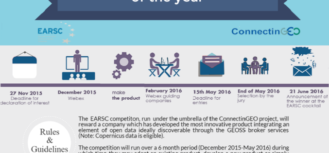
The EARSC competition “European EO product of the year”
The EARSC competition “European EO product of the year” will encourage the use of open data from GEOSS (Global Earth Observation System of Systems) European Earth observation companies understand how

Insurance Company Using Drones for Crop Yields
According to recent news by the Business Standard, Private insurance companies are using drones to photograph farms and if permitted by the agriculture ministry these could provide data to calculate crop
