

Posts From GIS Resources

NCTech and Top Gear USA Capture the Rubicon Trail in 360 degrees
iSTAR camera used to create immersive visual experience of challenging off-road route on Google Maps Los Angeles, CA & Edinburgh, UK – April 27, 2016 – NCTech, the developer of

Launch of Nationwide Emergency Response System
April 26, 2016 – New Delhi- The “Nationwide Emergency Response System” project that seeks to establish a modern emergency response system by connecting police with the citizens. It includes integrating
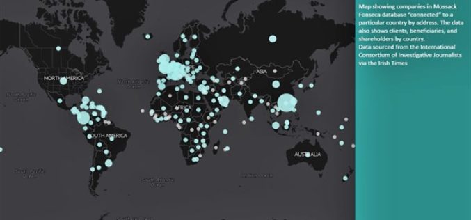
The Power of Maps
The map is a powerful way to visualize data and tell stories. As the internet becomes more and more popular, it is a lot easier to share your maps than
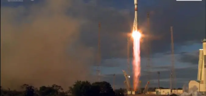
Sentinel-1B – Second Eye of the Earth Guardian in Orbit
Dual launch for European environmental satellite and MicroSCOPE small satellite mission Two eyes are better than one; this principle is also true for the two radar satellites that make up

SimActive Achieves Breakthrough with Latest Correlator3D Release
SimActive Inc., a world-leading developer of photogrammetry software, is pleased to announce the latest version of Correlator3D™, including a completely redesigned aerial triangulation (AT) module. The tie point extraction and

BRICS Nations to Exchange Remote Sensing Data of the Earth
According to recent news by Sputnik News, The BRICS countries are working to implement an initiative of sharing information on the Earth’s remote sensing, which will allow to swiftly respond to emergency situations and disasters, Russia’s
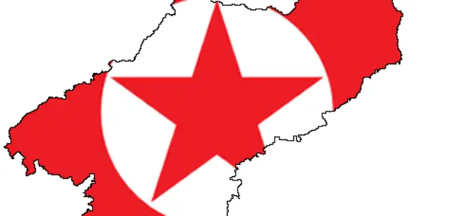
North Korea’s Nuclear Bomb Test Mapped by Europe’s Sentinel-1a
North Korea’s underground nuclear bomb test done in January 2016 has been mapped by Europe’s Sentinel-1a radar satellite. When it happened, The United States Geological Service reported a 5.1 magnitude

OGC Requests Comment on Charter for Coordinate Reference System Standards Working Group
Members of the Open Geospatial Consortium (OGC®) request comments on the draft charter for an OGC Coordinate Reference System (CRS) Standards Working Group (SWG). The purpose of the OGC SWG
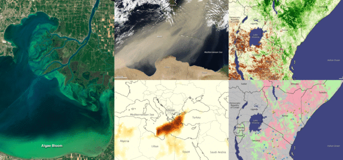
Fundamentals of Satellite Remote Sensing for Health Monitoring
NASA ARSET Training: Fundamentals of Satellite Remote Sensing for Health Monitoring 02 Jun. 2016 to 30 Jun. Times: 10:00-11:30 a.m. and 3:00-4:30 p.m. EDT (UTC-4) Predicting and monitoring disease outbreaks and environmental
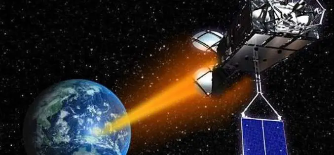
Pakistan Inked Contract with China to Develop First Remote Sensing Satellite
According to recent news by The Nation, Pakistan Space & Upper Atmosphere Research Commission (SUPARCO) and China Great Wall Industry Cooperation (CGWIC) signed a contract on Wednesday for the development and
