

Posts From GIS Resources

ARSET Training Announcement: Remote Sensing for Wildfire Applications
Remote Sensing for Wildfire Applications (in-person workshop) October 6-8, 2015 Idaho State University, Pocatello, Idaho, USA Workshop Overview: The ARSET team is gearing up for an in-person training titled “Remote
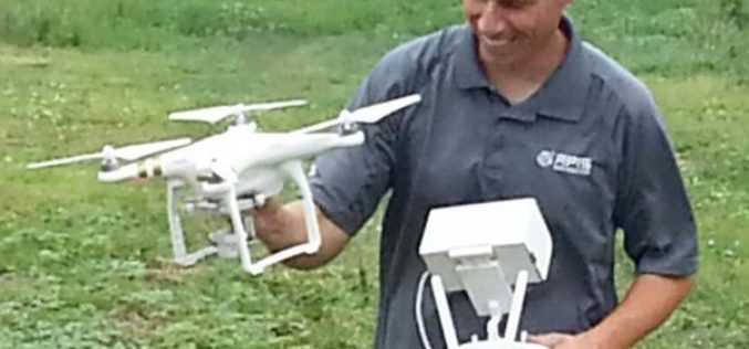
Drones to Access Crop Condition and Farming Possibilities
Drones in agriculture have transformed the way of capturing remotely sensed data and have proven their capability in many other domains. With the capability of acquiring high resolution data (spatial, spectral,

Webcasts: Creating Digital Terrain Models with ImageStation DTM for GeoMedia
Creating Digital Terrain Models with ImageStation DTM for GeoMedia Accurate and up-to-date elevation data layers provide the foundation for a wide variety of applications, from urban change detection to transportation

Lectures by Experts – 55th Photogrammetric Week
Welcome at the 55th Photogrammetric Week Sept. 7 – 11, 2015, at the University of Stuttgart The Institute for Photogrammetry of the University of Stuttgart and the OpenPhoWo partners would

French Energy Company SPIE chooses SuperPad To Enhance Survey Efficiency
Supergeo, the total GIS software solution provider, announces that SPIE, France, chooses SuperPad, the mapping application designed for Windows Mobile,to empower its streetlights and other utilities survey works. SPIE, the

ASPRS Launches Lidar Certification
The American Society for Photogrammetry and Remote Sensing (ASPRS) certification program announces the launch of a Professional and Technologist LIDAR Certification, the Certified Mapping Scientists, Lidar (CMS, Lidar) and the

RFP for Empanelment of Agencies to Engage Technical Manpower in GIS and Remote Sensing Applications
The National Informatics Centre Services Inc. (NICSI) was set up in 1995 as a section 25 Company under National Informatics Centre, Ministry of Communications & Information Technology, Government of India
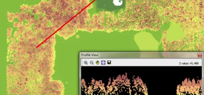
LiDAR, Point Cloud and SuperGIS Desktop 10
Have you ever thought of using LiDAR data through geographic information system to improve field tasks such as Forestry Management, Disaster Prevention, Coastal Change Management, and Contamination Simulation and so
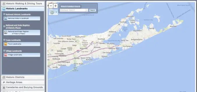
Southampton Town, NY Launches Website Mapping Out Historic Places
Southampton Town, historic division has launched a new website highlighting historic structures and places. The website detail maps of 18 walking, biking and driving routes throughout the town. The website was
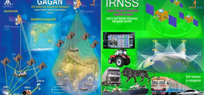
GNSS User Meet – 2015
GNSS User Meet – 2015 Organised by ISRO and AAI October 8, 2015 GNSS User Meet 2015 is jointly hosted by ISRO & AAI on the theme “Towards Self Reliance
