

Posts From GIS Resources

Web Mapper, Mapping Straight
Today, when spatial data is highly utilized and conveys essential day-to-day information to the public, it is very important that people can access spatial information anytime and anywhere. Smart phonesoffer
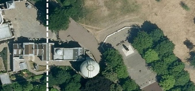
Why Greenwich Meridian Have Longitudinal Shift?
In 1884, the International Meridian Conference recommended that the prime meridian “to be employed as a common zero of longitude and standard of time-reckoning throughout the globe” pass through the

SimActive Announces Correlator3D Version 6.2
SimActive Inc., a world-leading developer of photogrammetry software, is pleased to announce Correlator3D™ version 6.2, featuring a new module for tie point editing during aerial triangulation. Users can visually inspect

GIS Route to Shore up Tax Revenue
The Corporation of Chennai has passed a resolution to use Geographical Information Systems (GIS) in property assessment and tax collection. At present, property values are calculated based on data collected
Access to Marine Data Stream from EUMETSAT User Information Day
The Copernicus team would like to remind interested stakeholders that there are only a few days left to register for the “Copernicus Users Information Day on Access to Marine Data

Esri Nonprofit Organization Program
The Esri Nonprofit Organization Program (NPO) is designed to provide qualified nonprofit organizations with an affordable way to acquire Esri software. Qualified nonprofit organizations include noncommercial entities working on humanitarian,

Specialized GIS Certificate Course by University of California, San Diego
The mission of University of California, San Diego Extended Studies and Public Programs is to serve the critical lifelong knowledge and skill development needs of individuals, organizations, and the community. As

Geospatial Technology Helps Indian Air Force to Rediscover Lost Land
After a year of search with the help of satellite mapping and pain staking ground survey, a team of UP Board of Revenue and Indian Air Force (IAF) has been

China Launches Yaogan-27 Earth Observation Satellite
According to CRIEnglish.com, China has successfully launched the Yaogan-27 remote sensing satellite into a scheduled orbit at 10:31 a.m. Beijing Time on Aug. 27,2015 from Taiyuan launch site in Shanxi Province, north
Webinar: Predicting the Future of Forests with SuperGIS Solutions
Predicting the Future of Forests with SuperGIS Solutions Thursday, September 10th 09:00 AM (GMT) Your local time For the sustainable use of bio-resources and maintain ecosystem function, Species Distribution Model
