Drones in agriculture have transformed the way of capturing remotely sensed data and have proven their capability in many other domains. With the capability of acquiring high resolution data (spatial, spectral, radiometric and temporal data) have found a special privilege in bringing precision agriculture.
According to a report by Association for Unmanned Vehicle Systems International, ‘agricultural drones’ are expected to capture 80 per cent of the commercial Unmanned Aerial Vehicle (UAV) market and has the potential to generate more than 100,000 jobs in the US.
In recent news by Midwest Producer:
In an event organized by the Kansas Ag Research and Technology Association (KARTA), four airborne systems could be heard as they criss-crossed nearby fields, sending live visuals back to equipment on the ground.
The exhibitors noted the fast advancements in the aerial systems, despite lack of clear regulations from the Federal Aviation Administration. The UAVs are being used as part of commercial agronomy packages.
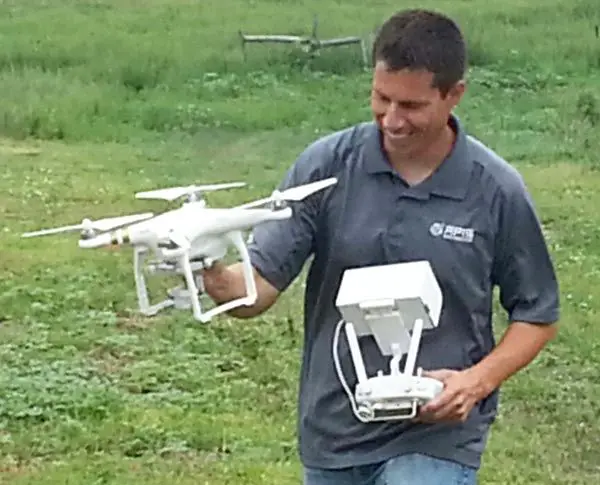
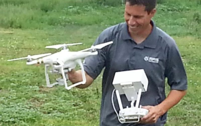
Curtis Moore of Apis Remote Sensing Systems in Hays, Kan., retrieves one of the small Unmanned Aerial Systems demonstrated during the Colby event. (Terry Anderson/Midwest Producer) Credit: Midwest Producer
As reported in The New Indian Express:
Agricultural drones are UAVs used for precision agriculture, which is a modern method of farming that uses big data, aerial imagery and other means to optimise efficiency. The drone collects the farm’s image and makes a colour-coded map based on its health, which is then assessed by the UAV Company.
Agriculture Insurance Company of India along with Skymet, a weather forecasting company, has conducted a few pilots in parts of Gujarat and Rajasthan to see how drones can be used to survey crops and help map crop diseases along with helping insurance companies settle claims.
And as reported in The Economics Times of India:
The Maharashtra government turns to technology to ensure timely intervention and compensations for farmers in an area notorious for farmer suicides. Private weather forecaster Skymet is using drones, or unmanned aerial vehicles (UAVs), to map 51 villages of Marathwada under a pilot project.
Confirming the use of drones, Maharashtra agriculture commissioner Vikas Deshmukh said, “The state government has decided to carry out pilot projects for assessing crop yields using different technologies from four different companies.”
Reinsurance giant Swiss Re and Climate Change for Agriculture, a not-for-profit organisation based in Delhi, are also participating in the project to assess 186 villages in the state, using drones and satellite imagery.
Madhya Pradesh and Uttar Pradesh governments, too, are expected to soon start using low cost drones to assess crop losses.


