

Posts From GIS Resources
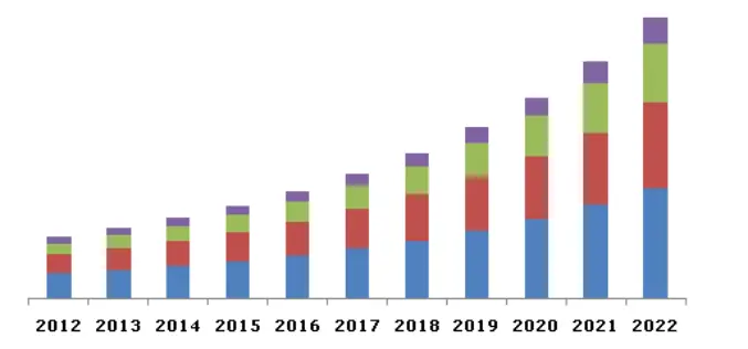
Global LiDAR Market By Product, By Application, By Component Expected To Reach USD 944.3 Million By 2022
The global LiDAR market is expected to reach USD 944.3 million by 2022, according to a new study by Grand View Research, Inc. Escalating demand for 3D imagery in line

Russia to Launch Constellation of Earth Observation Satellite
As a part of major project, the Russian Federal Space Agency Roscosmos is planning to expand the number of earth observation satellites. The project also includes setting up of a
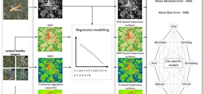
Using Landsat Vegetation Indices to Estimate Impervious Surface Fractions for European Cities
Using Landsat Vegetation Indices to Estimate Impervious Surface Fractions for European Cities – Kaspersen, P.S.; Fensholt, R.; Drews, M. Using Landsat Vegetation Indices to Estimate Impervious Surface Fractions for European Cities.

OpenGeo Suite 4.6.1 Now Available
Boundless is announcing the general availability of OpenGeo Suite 4.6.1 for all customers and OpenGeo Suite users. This is a patch release primarily intended to address an identified security vulnerability

Boundless Certifies Latest QGIS Release with OpenGeo Suite
Commercially Supported Instance of QGIS 2.8.2 Available with Custom Plugins for Superior Usability and Cost-Effectiveness Aimed at Enterprise Users New York, NY & Washington, DC – June 17, 2015 —
Medea S.p.A., Italy Chooses SuperGIS for Pipeline Service Management
Supergeo Technologies, the leading GIS software provider,announces that Medea S.p.A., Italy selects SuperGIS Desktop and SuperGIS Server to manage its pipeline management for enhancing citizens’ life quality. Having 30-years experience,

RIEGL adds VMZ-2000 to Geo-matching.com
RIEGL has added the VMZ-2000 to the Mobile Mappers product category on Geo-matching.com. Visit Geo-matching.com for a complete product overview and compare solutions. Geo-matching.com is the first product comparison website

A New Era of Space Collaboration between Australia and U.S.
On June 18, 2015 in Canberra, Australia, the U.S. Geological Survey and Geoscience Australia signed a comprehensive new partnership to maximize land remote sensing operations and data that can help
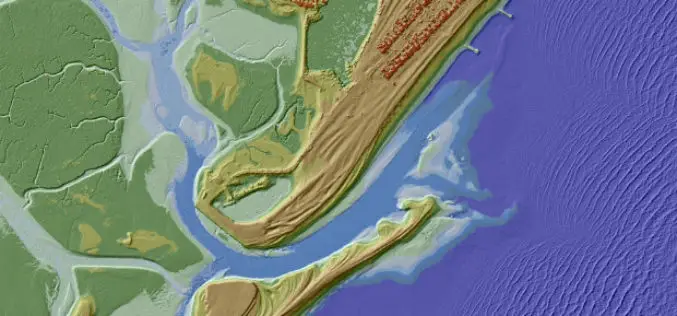
UK Environment Agency Make LiDAR and Environment Data Open for All
The UK Environment Agency (EA) is to make its LiDAR datasets freely available as open data to commercial entities from September this year. Since 2013, LiDAR data has been published for non-commercial

Esri and NT Concepts Help Transition Google Earth Enterprise Customers
Meeting the Requirements of the Intelligence Community a Top Priority Redlands, California—In coordination with Google, Esri is providing replacement software and training to customers and partners using Google’s enterprise geospatial
