

Posts From GIS Resources
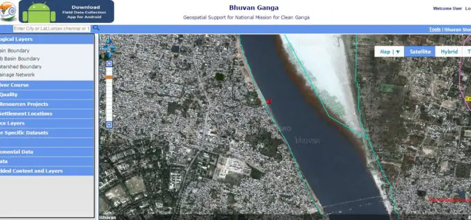
Pollution Monitoring of River Ganga Using Geospatial and Crowd-Sourcing Technologies
As reported by Business Standard, the Government of India’s flagship Clean Ganga Mission, National Mission for Clean Ganga (NMCG), Ministry of Water Resources, River Development and Ganga Rejuvenation and National

Doctoral Candidate Position in Remote Sensing of Vegetation
Aalto University is a new university with over a century of experience. Created from a high-profile merger between three leading universities in Finland – the Helsinki School of Economics, Helsinki
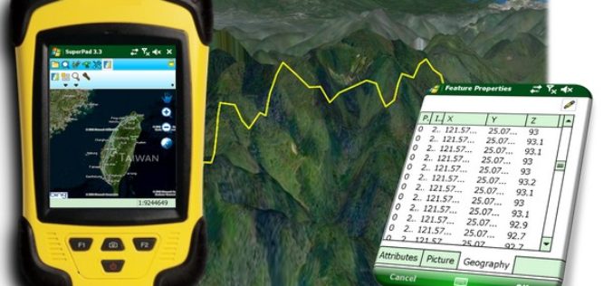
Indonesia Regional Planning and Development Sector Powers Up Mobile Mapping by SuperPad
Supergeo Technologies, the leading GIS software provider, announces that Deli SerdangRegional Sector for Planning and Development, Indonesia selects SuperPad, the mapping applicationdesigned for Windows Mobile, to power upfieldworkquality. The Sector

City of Oakland’s Real-Time Crime Map Advances Transparency
Oakland Police Department Aims to Drive Citizen Engagement with Open Data Redlands, California—The City of Oakland, California, has taken another step toward offering citizens open access to public data by

Hexagon Geospatial and BlackSky Global Establish Partnership
Hexagon Geospatial is pleased to announce it has partnered with BlackSky Global in a new content-sharing program that will bring together both satellite imagery and software for use in the
ArcGIS Earth, A Free and New Tool to Analyze 2D and 3D Data
Esri is planning to launch a new tool “ArcGIS Earth”, a freely available, lightweight, installable desktop app that makes viewing 3D maps instant and easy for anyone in the enterprise. ArcGIS Earth
SCIRoCCo Project Offering Research Grants at Master, Post-graduate and PhD level
Within the SCIRoCCo Project, a number of Research Grants at Master, Post-graduate and PhD level, are available to carry out original research based primarily on the exploitation of ERS Scatterometer
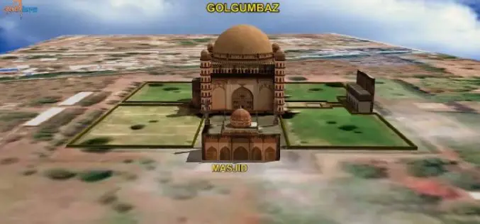
ISRO to Map and Create 3D Modelling of National Heritage Sites
Ministry of Culture, Government of India and Indian Space Research Organisation (ISRO) has collaborated to start a national project for inventory and monitoring of archaeological sites of the country. The
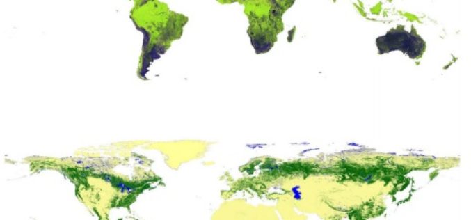
Global Forest Watch Using High Resolution Synthetic Aperture Radar
Forests always have been an important for all human beings and animals. For some forests provide shelter and some forests are source of livelihood. Monitoring global forest footprint is of
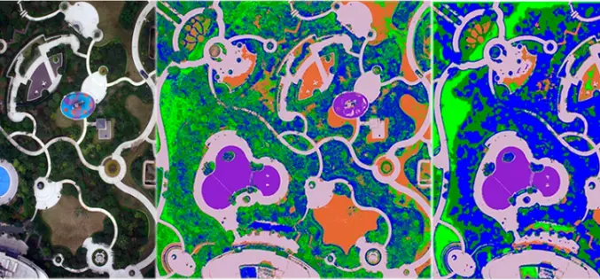
UAV Remote Sensing for Urban Vegetation Mapping
Vegetation plays an important role in urban environments from many prospects, i.e., alleviating urban heat island effect, maintaining ecological balance, protecting biodiversity and promoting quality of life. Urban vegetation mapping can be
