

Posts From GIS Resources
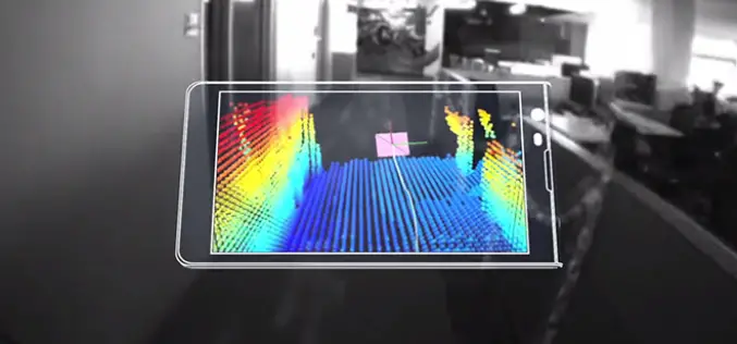
Say hello to Project Tango!
Project Tango is an exploration into giving mobile devices a human-scale understanding of space and motion. What if you never found yourself lost in a new building again? What if
Google Reportedly Developing ‘Project Tango’ Tablet with 3D Mapping Capabilities
Google is reportedly working on a tablet version of its “Project Tango” computer vision initiative that incorporates multiple advanced imaging sensors into a portable device for real time three-dimensional mapping.
Pakistan Gets First Remote Sensing Lab
In recent news Dawn, Pakistan gets first remote sensing lab at Hyderabad established in collaboration with the Pakistan Space and Upper Atmosphere Research Commission (Suparco) and the Food and Agriculture

PR : Mapping Innovation Takes Center Stage at the Esri UC
May 22, 2014 Redlands, California—Geoenthusiasts from all over the world are preparing for the largest mapping and location event of the year, Esri User Conference (Esri UC), July 14–18 in San

PR: Trimble’s Inpho 5.7 Software Features New Capabilities to Reduce Processing Time and Improve Visualization
SUNNYVALE, Calif., May 22, 2014—Trimble (NASDAQ: TRMB) announced today enhancements to its Inpho® 5.7 software suite to address the needs of geospatial professionals engaged in the production of digital photogrammetry
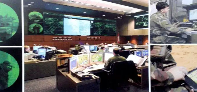
Mapping for War and Peace
From military intelligence to business intelligence Far from its traditional image as the publisher of leisure maps for ramblers and cyclists exploring idyllic countryside, where the only disturbance is the
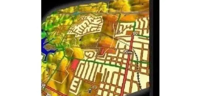
Blue Marble Releases Global Mapper v15.2 with New Automation for Creating Features
Blue Marble Geographics (bluemarblegeo.com) is pleased to announce the release of Global Mapper version 15.2. This minor release features new functionality to automate the “New Feature Creation” process, as well

GeoServer 2.5.1 Released
The GeoServer team is happy to announce the release of GeoServer 2.5.1. GeoServer 2.5.1 is the next the stable release of GeoServer and is recommended for production deployment. Thanks to everyone
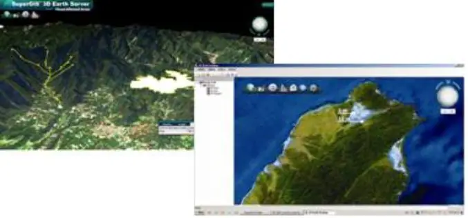
SuperGIS 3D Earth Server 3.2 to Enhance 3D Map Display Performance
Supergeo Technologies is going to release front end applications for enhanced 3D map display performance for SuperGIS 3D Earth Server 3.2 users. The desktop client application, SuperGIS 3D Earth, is

Jakarta Fire Department Utilizes SuperPad to Secure Citizens and Properties
Supergeo Technologies, a leading global provider of GIS software and solutions, assists the Department of Building and Fire, Bekasi, Jakarta in enhancing citizens’ life through SuperPad, the professional GIS data
