Pollution Monitoring of River Ganga Using Geospatial and Crowd-Sourcing Technologies
As reported by Business Standard, the Government of India’s flagship Clean Ganga Mission, National Mission for Clean Ganga (NMCG), Ministry of Water Resources, River Development and Ganga Rejuvenation and National Remote Sensing Centre (NRSC), Indian Space Research Organization signed a Memorandum of Understanding (MoU) on the use of geospatial and crowd scouring technology for pollution monitoring in river Ganga.
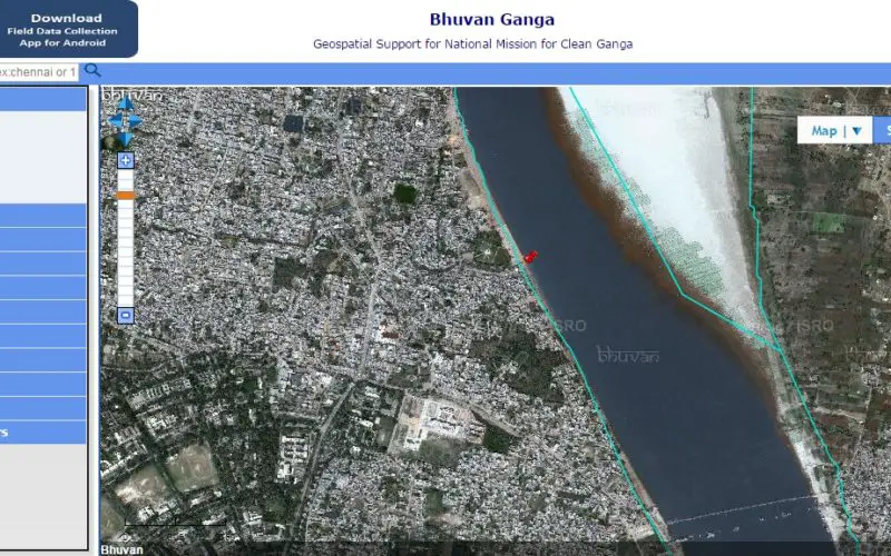
The event also witness the launch of Bhuvan Ganga web portal and Android mobile app. Bhuvan Ganga is exclusive web portal developed by NRSC as a tool to support decision making and planning for Clean Ganga Mission. The portal also provides visuals about hydrological layers (basin boundary, watershed, and drainage network), data about river Ganga water quality and river course.
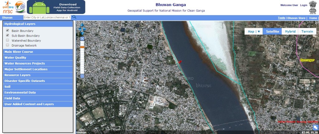
The Resource Layers provide Land Use Land Cover at the scale of 50k, 250k. Users can visualize Geological datasets at scale of 50 k. The portal also provide environmental data and soil data such as soil depth, soil erosion, soil productivity, soil slope and soil texture. Together all this provide a vital and essential source for decision maker and in success of Clean Ganga Mission.
Bhuvan mobile app is a user friendly for field data collectionand report various pollution sources (untreated sewage water drainage, industrial waste drainage outlet, etc.) that affect the water quality of river Ganga.
The first version of the application is made available for download in the Bhuvan Ganga web portal (http://bhuvan.nrsc.gov.in/ganga).