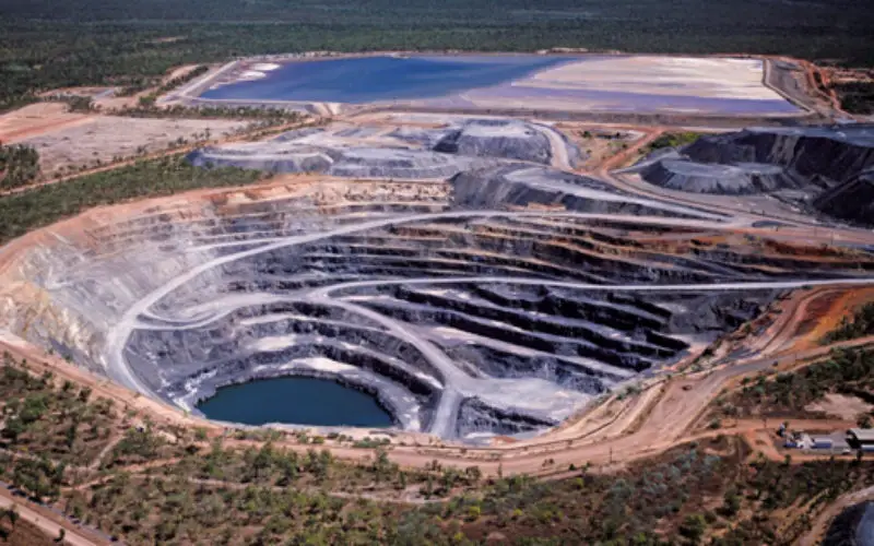
 In recent new by ToI, the Department of Steel & Mines, Government of Odisha is planning to setup a dedicated cell in Odisha to have a check and curb illegal mining.
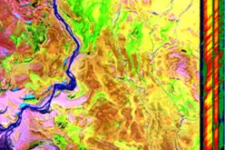
The proposal has been made to monitor the mining activities using Google Earth imagery. For this a special cell will be setup in Odisha Space Applications Centre (ORSAC). It will regularly monitor Google Earth images of leasehold areas of different mines.
For accurate mapping and demarcation of boundary lines differential global positioning system (DGPS) survey will be carry out for different mines.
“The proposal has been mooted to check whether mining activities are carried out within the area approved in the mining plan. If any irregularities are noticed, the ground-level officers will move and take appropriate action,” Director of mines Deepak Mohanty.
The decision assumes significance as the Justice M B Shah Commission of inquiry in its report pointed out massive irregularities in mining activities in the state.
“Out of 187 iron ore and manganese mines, DGPS survey is conducted on 39 as recommended by Shah Commission. The survey of remaining mines will be conducted in a month with technical support from ORSAC,” Mohanty said. The DGPS survey of chrome, bauxite, limestone and dolomite mines will follow.
Once the survey is done, the data will be uploaded in Integrated Mines and Minerals Management System, an online monitoring mechanism.