Bihar Agricultural University Leads Rs 37 Crore AI-Driven Soil Mapping Project Across 38 Districts
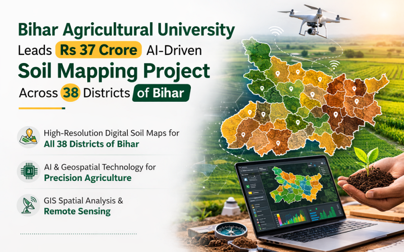
Bihar Agricultural University (BAU), Sabour is spearheading a Rs 37 crore National Soil Mapping Project that will produce high-resolution digital soil maps for all 38 districts of Bihar using artificial intelligence and geospatial technology. The initiative, backed by the Bihar state budget 2026–27 and the Central Government’s Digital Agriculture Directorate, represents a landmark application of GIS spatial analysis and remote sensing to precision agriculture in eastern India.
Background
Bihar, located in the Indo-Gangetic Plains, is one of India’s most agrarian states, with agriculture employing over 70% of the rural population. Despite its fertile soils, the state has historically lacked high-resolution, spatially referenced soil health data, limiting the effectiveness of fertiliser recommendations, crop planning, and climate adaptation strategies. BAU Sabour, established in 2010 under the Indian Council of Agricultural Research (ICAR) framework, has emerged as a national hub for geospatial agricultural research. The university’s Agri Informatics and AI Research Centre, developed in collaboration with C-DAC Patna, has built expertise in drone-based
Also Read – High-Resolution Soil Moisture Mapping from NISAR Satellite Data
Technology and Methodology: AI and Geospatial Soil Mapping
The National Soil Mapping Programme operates at a 1:10,000 scale — a resolution fine enough to generate field-level insights. The methodology integrates several advanced geospatial and analytical tools:
- Multispectral satellite imagery from ISRO’s Resourcesat series and Sentinel-2, used to derive Normalized Difference Vegetation Index (NDVI) and soil brightness indices as covariates
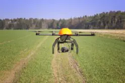
- Drone-mounted hyperspectral sensors for in-situ soil reflectance collection at training sample locations
- Digital Elevation Models (DEMs) from Cartosat-1 for terrain attribute derivation, including slope, curvature, and topographic wetness index
- Machine learning models (Random Forest, Support Vector Machine) trained on laboratory soil analyses to predict spatial distributions of pH, organic carbon, nitrogen, phosphorus, and potassium
The approach follows the digital soil mapping (DSM) framework endorsed by the Global Soil Partnership of the UN Food and Agriculture Organisation, ensuring the resulting maps are FAIR (Findable, Accessible, Interoperable, Reproducible) for use by government agencies and researchers.
Implementation and Study Area
Implementation spans all 38 districts of Bihar, divided across two phases over three years. Phase one will cover the northern flood-prone Terai districts; phase two will address the southern uplands and Kaimur Plateau, which show distinct soil profile characteristics. The project follows a One District — One Soil Profile framework, establishing representative benchmark soil profiles as anchor points for interpolation across each district. BAU’s 22 Krishi Vigyan Kendras (KVKs) spread across the state will serve as field data collection hubs, coordinating soil sampling, GPS geo-referencing of sample locations, and quality control.
Applications and Impact
High-resolution geospatial soil maps from the project will serve as a scientific foundation for:
- Climate-smart crop planning and site-specific nutrient management recommendations
- Land use change monitoring and soil degradation detection
- Policy support for the Bihar government’s Digital Agriculture Directorate
- Input into national soil health card schemes serving millions of smallholder farmers
Conclusion
BAU Sabour’s National Soil Mapping Project is a model for how GIS spatial analysis, AI, and satellite remote sensing can converge to address a practical agricultural challenge at state scale. Its successful completion will make Bihar one of the few Indian states to possess a comprehensive, science-based soil geospatial database — setting the stage for data-driven agricultural planning and climate resilience across the Indo-Gangetic region.
References
1. Patna Press (2026). BAU Drives Digital Advisory, GI Products, Startups and Market Modernisation Under Bihar Budget 2026–27. patnapress.com
2. Patna Press (2025). BAU Sabour to Lead High-Resolution Soil Mapping Across Bihar’s 38 Districts. patnapress.com
3. FarmToPlot (2025). Bihar’s Statewide Digital Soil Mapping: A Game-Changer for Plot Profitability. farmtoplot.com
4. CIMMYT (2022). New Soil Intelligence System for India. cimmyt.org