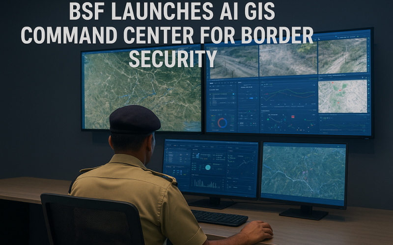
India’s Border Security Force (BSF) has taken a major step in modernizing border management by launching an AI GIS Command Center along the Pakistan and Bangladesh frontiers. The new facility is designed to fuse artificial intelligence with geographic information systems, enhancing surveillance and predictive operations for India’s long and complex border regions.
How the System Works
The AI GIS Command Center integrates sensor networks, satellite feeds, and incident records into a unified decision-support platform. It provides role-based dashboards for officers at different command levels, enabling them to monitor alerts, detect unusual movement, and identify high-risk areas.
Machine learning models analyze terrain data, movement patterns, and past infiltration attempts. By generating predictive insights, the system helps BSF anticipate vulnerabilities rather than reacting after incidents occur. Ground verification and continuous feedback loops strengthen the reliability of these forecasts.
Also Read – How GIS Revolutionising Defence Strategy and Intelligence Operations
Strengthening Border Security
Unveiled by BSF Director General Daljit Singh Chawdhary, the system highlights a shift towards data-driven security management. Officials noted that advanced analytics will assist troops in planning patrols, managing resources, and countering challenges such as infiltration, trafficking, and smuggling.
The platform also enforces accountability through role-based access and audit trails. This ensures that sensitive information is securely managed while maintaining operational transparency. Future expansions may include weather updates from the India Meteorological Department, integration with open-source intelligence, and collaboration with other security agencies.
Why It Matters
For personnel on the ground, the AI GIS Command Center offers quicker alerts and sharper intelligence to support real-time decision-making. For senior leadership, it provides a consolidated view of border conditions and enhances long-term planning. Most importantly, it signals India’s readiness to use advanced technology to strengthen national security.
With over 6,000 kilometers of sensitive border to monitor, this initiative marks a turning point in how India manages evolving cross-border threats. The integration of AI and GIS not only improves operational efficiency but also builds resilience into the nation’s defense strategy.
By combining technology with on-ground expertise, the BSF’s new initiative demonstrates how innovation can transform border security into a smarter, more predictive, and more responsive system.
Source: PTI, Devdiscourse