
GIS
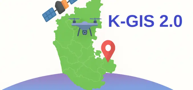
What is K-GIS 2.0 – Karnataka’s Next-Gen Geo-Spatial Database
Karnataka is gearing up to launch K-GIS 2.0, a modernised version of the Karnataka Geographical Information System designed to bring real-time, dynamic, and accessible geo-spatial data across the state. Approved

Esri India and Dhruva Space Partner to Launch Advanced Satellite Imagery Service
Esri India and Dhruva Space have entered into a strategic Memorandum of Understanding (MoU) to transform geospatial intelligence in India by integrating their technologies and leveraging a satellite imagery service
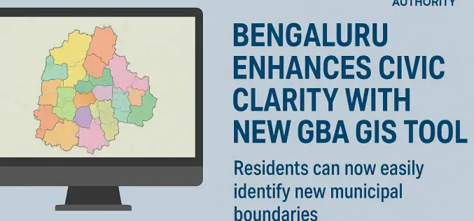
Bengaluru Enhances Civic Clarity with New GBA GIS Tool
In a significant stride toward improving urban governance, the Greater Bengaluru Authority (GBA) has unveiled a powerful GBA GIS tool to help residents easily identify the new municipal boundaries following
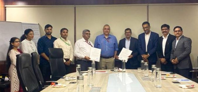
Department of Posts Strengthens DIGIPIN with ESRI India MoU
In a strategic move to bolster its digital capabilities, the Department of Posts (DoP) signed a Memorandum of Understanding (MoU) with ESRI India on September 1, 2025, to enhance the

HERE and Genesys Join Forces to Tackle Distracted Driving in India
In a bold move to combat distracted driving and enhance in‑car safety, HERE Technologies and Genesys International have launched a strategic collaboration aimed at delivering next‑generation navigation systems tailored for
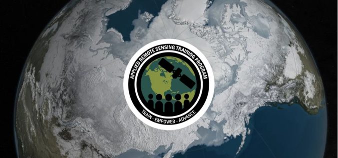
NASA ARSET Training Announcement: Introduction to NASA Snow and Ice Data Products and Applications for Water Resources Management
The cryosphere—Earth’s frozen water on or beneath the surface—includes snow, glaciers, ice sheets, sea ice, and permafrost. It stores about 75% of the planet’s freshwater, mostly in glaciers and permafrost
Maxar-Saab Geospatial Defense Collaboration Boosts European Capabilities
Maxar Intelligence and Swedish defense company Saab have joined forces in a major geospatial defense collaboration to develop next-generation multi-domain battlespace solutions. The strategic agreement aims to integrate advanced satellite
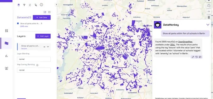
Finding the Map in the Mess: Making Geospatial Data Easy
About Authors: Irene Ternes & Engy El Shenawy, DataMonkey Whether we notice it or not, our world is shaped by location data. From climate risk and infrastructure planning to supply
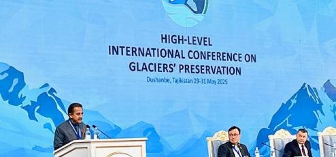
India Reaffirms Glacier Preservation Goals at Dushanbe Meet
India has reaffirmed its commitment to Glacier Preservation at the High-Level International Conference on the International Decade for Action “Water for Sustainable Development” held in Dushanbe, Tajikistan. The Indian delegation,
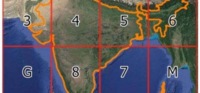
India Introduces DIGIPIN – Geocoded Digital Pin for Precise Addressing
In a significant move towards enhancing India’s addressing system, the Department of Posts has introduced a new digital addressing solution called ‘DIGIPIN – geocoded digital pin’. This innovative system aims
