
GIS
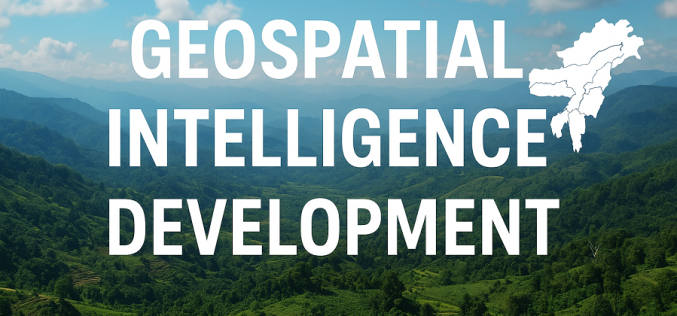
Mizoram Governor Calls for Geospatial Intelligence Development in the Northeast
The Governor of Mizoram has issued a strong appeal for wider adoption of modern mapping and Earth-observation tools, saying they are essential for shaping a climate-ready and sustainable future for

The Fastest Way to Georeference Maps Online: Georeferencer.ai
Georeferencer.ai is here to make georeferencing maps faster, easier, and more accessible than ever. With just a few clicks, anyone can align maps to real-world coordinates without special software or
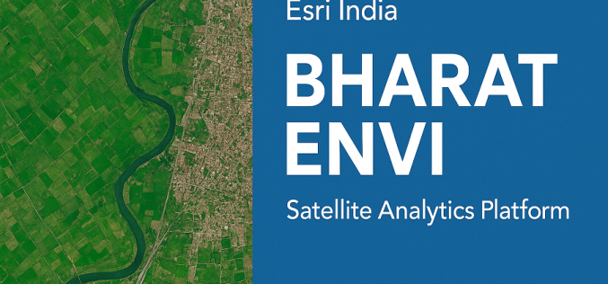
Esri India Launches Bharat ENVI — Satellite Data Analytics Boost for India
Bharat ENVI is a newly launched geospatial image-processing and analysis software by Esri India. It integrates the widely used Indo ArcGIS platform with advanced remote sensing tools — enabling Indian
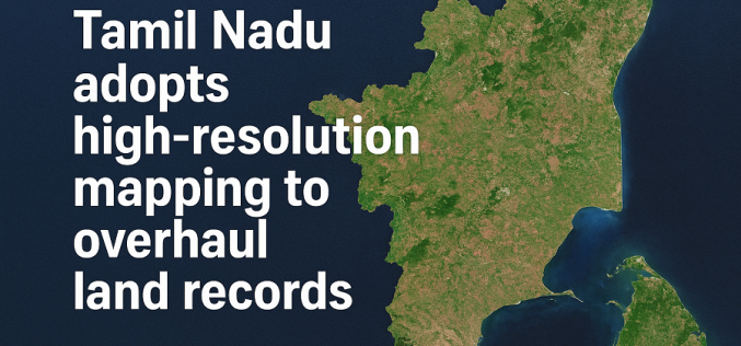
Tamil Nadu Adopts High-resolution Mapping to Overhaul Land Records
Tamil Nadu is preparing for a major upgrade in how land records are maintained, with the government launching a statewide project to use high-resolution mapping for modernising its land database.
New Global Satellite Resource to Support Humanitarian Navigation and Infrastructure Tracking
A new global dataset released by the HeiGIT (Heidelberg Institute for Geoinformation Technology) makes it possible to distinguish between paved and unpaved roads worldwide with unprecedented consistency. Derived from high-resolution
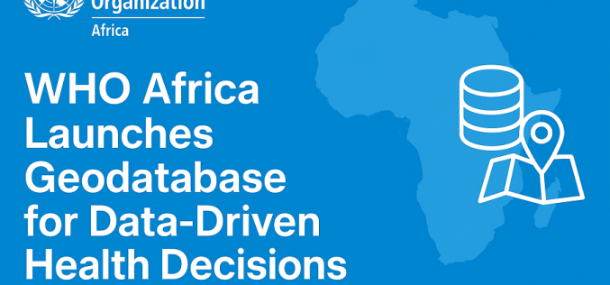
WHO Africa Unveils Geodatabase to Boost Data-Driven Health Decisions
The World Health Organization Regional Office for Africa (WHO AFRO) has launched a new AFRO Geodatabase (AFRO GDB), marking a major step toward improving how countries collect, manage, and use

MapmyIndia Expands Government Reach Through Digital Mapping Partnership
India’s geospatial ecosystem is set for a major upgrade as MapmyIndia Mappls enters two strategic agreements with the Survey of India and Indian Oil Corporation Ltd (IOCL). The move signals
Survey of India Moves to Build a National Geo-Spatial Platform
The Survey of India (SoI) has signed a key agreement with C.E. Info Systems Pvt. Ltd. to build a cutting-edge national geo-spatial platform. This initiative is a central pillar in
ISRO Develops Chemical Emergency Response System for Kerala
In a major leap toward industrial safety and digital disaster management, the Government of Kerala has launched the Remote sensing enabled Online Chemical Emergency Response System (ROCERS) on October 11,
ICRISAT and SBI Drive Smart Data Farming for Smallholders
A major initiative in smart data farming has been launched. The SBI Foundation, together with the International Crops Research Institute for the Semi‑Arid Tropics (ICRISAT) and the University of Agricultural
