
GIS

How CropSmart Digital Twin is Revolutionizing Precision Agriculture
In an era where precision agriculture is pivotal for sustainable food production, the CropSmart Digital Twin (CSDT) emerges as a groundbreaking tool designed to revolutionize crop management. The CropSmart Digital

New QGIS Plugin Brings WCPS-Powered Datacube Querying to Open-Source GIS
The Open-Source GIS community welcomes a powerful new addition: the QGIS WCPS Plugin, enabling seamless querying and visualization of multidimensional datacubes. This innovative plugin integrates the OGC Web Coverage Processing Service (WCPS) standard,

Melbourne Firm’s GeoAI Partnership in Australia Boosts AI-Driven Mapping
Melbourne-based geospatial analytics firm, The Spatial Distillery Company, has partnered with Swiss artificial intelligence provider Picterra. This GeoAI partnership in Australia aims to improve satellite and drone image analysis, helping

How 3D BIM Modeling Enhances Construction Projects Across All Phases: From Pre-Construction to Post-Construction
Have you ever wondered how modern construction projects manage to stay on schedule, within budget, and free from major design errors? Building Information Modeling (BIM) is fundamentally transforming the construction
NAKSHA Project to Revolutionize Urban Land Surveys in India
In a significant move to modernize urban land records, the Government of India is set to launch the National Geospatial Knowledge-based Land Survey of Urban Habitations (NAKSHA) pilot project. The

Kirinyaga Lands Department Establishes GIS Lab to Enhance GIS Land Management
In a significant move to enhance land management and service delivery, Kirinyaga County, Kenya, has established a state-of-the-art Geographic Information System (GIS) laboratory. This initiative aims to digitize all land

India Strides in Soil Health Monitoring Through the Soil Health Card
The Government of India has made significant strides in Soil Health Monitoring through the Soil Health Card (SHC) Scheme, launched in 2014-15. This initiative aims to improve soil fertility and
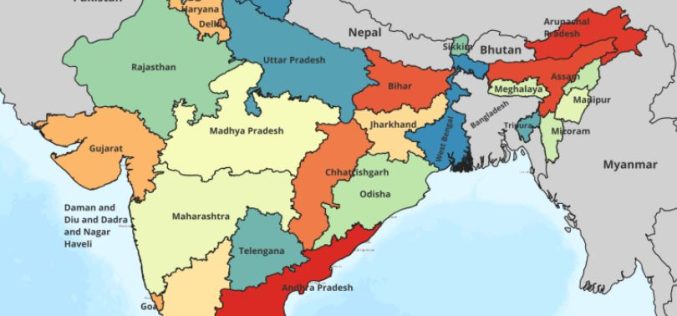
AI and Geospatial Initiatives Get a Rs 20K Boost in India’s 2025 Budget
The Indian government has allocated ₹20,000 crore in the Union Budget 2025-26 to drive research in artificial intelligence (AI), geospatial technologies, and innovation. The move is aimed at strengthening India’s

Heli-Borne Geophysical Survey Aims to Unlock Mineral Wealth
The Geological Survey of India (GSI) has initiated an advanced heli-borne geophysical survey in the Sukinda and Danagadi blocks of Odisha’s Jajpur district. This operation employs a custom-made Advanced Light
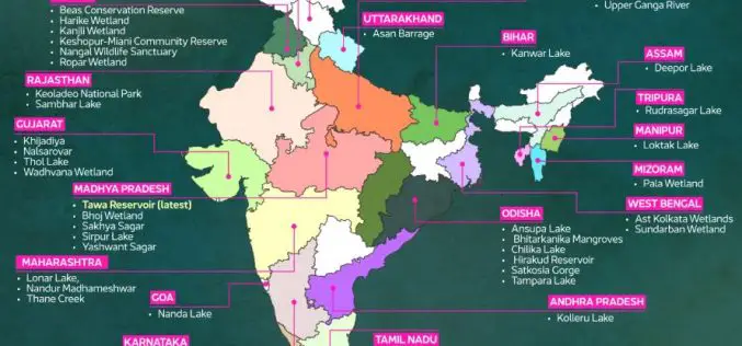
Tamil Nadu Uses GIS to Protect Ramsar Sites
Tamil Nadu is embracing advanced technology to safeguard its Ramsar sites, wetlands of global ecological importance. The Tamil Nadu Wetland Authority plans to utilize drones, machine learning, and GIS to
