
GIS
Beyond the Map: What the GIS Stack Looks Like in 2025
About Author Subhankar Naskar Team Lead, Geospatial Technology, iMerit He’s a geospatial professional blending AI with GIS to predict the future—literally. He holds a B.Sc. in Geography, an M.Sc. in

NIO Launches GIS-Based Study to Reassess Goa’s Beach-Carrying Capacity
The National Institute of Oceanography (NIO) has initiated a comprehensive Geographic Information System (GIS)-based study to reassess the beach-carrying capacity along Goa’s coastline. This beach-carrying capacity evaluation aims to determine
Cambridge Intelligence MapWeave: Transforming Geospatial Data Analysis
Cambridge Intelligence has unveiled its latest innovation, Cambridge Intelligence MapWeave, a cutting-edge geospatial visualization SDK designed to revolutionize the way organizations analyze complex spatial data. With Cambridge Intelligence MapWeave, developers

Pimpri-Chinchwad Enhances Safety with New Flood Forecasting Early Warning System
The Pimpri Chinchwad Municipal Corporation (PCMC) has launched an advanced Rainfall and Flood Forecasting Early Warning System, developed in collaboration with the Centre for Development of Advanced Computing (C-DAC), Pune.

Korean and Uzbek Transforming Rural Communities through Digitalization in Agriculture
Digitalization in agriculture is gaining momentum in Uzbekistan, as the nation partners with South Korea to implement advanced smart farming technologies. This collaboration aims to revolutionize the agricultural sector through

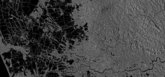
Japan Enhances Ukraine’s Defense with Geospatial Intelligence Support
In a significant move to bolster Ukraine’s defense capabilities, Japan’s Kyushu University Institute for Q-shu Pioneers of Space (iQPS) has agreed to provide synthetic aperture radar (SAR) imagery to Ukraine’s
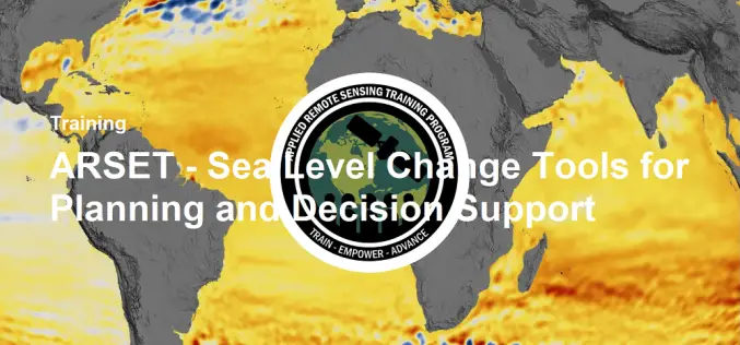
NASA ARSET Training- Sea Level Change Tools for Planning and Decision Support
Sea level change is accelerating, currently rising at approximately 3 mm per year—and this pace is expected to increase further throughout the next century. To track and analyze past, present,

Genesys International Gets ₹15 Cr Boost for 3D Mapping Expansion Around Pune
Genesys International has secured a fresh order worth ₹15 crore for the 3D mapping expansion of Pune’s outer regions. This new contract, awarded by regional development authorities, will enhance urban
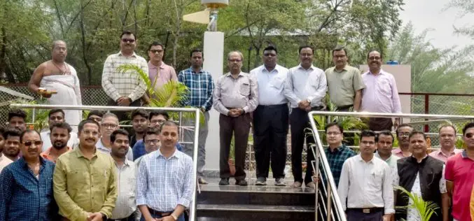
New Regional Center for Geodesy at IIT ISM to Provide High-Precision GNSS Data
In a move to strengthen India’s geospatial research and mapping capabilities, IIT ISM Dhanbad has inaugurated the Regional Center for Geodesy (RCG). This newly established center is aimed at enhancing

Singapore Strengthens Maritime Innovation with Maritime Digital Twin
Singapore has taken a bold step in reshaping the future of its port operations by launching a maritime digital twin. This move, part of the Maritime and Port Authority of
