
GIS

China Launches GEOVIS Cloud for Public Data Access
China recently unveiled the GEOVIS Cloud Open Platform, an innovative cloud-based service to enhance access to remote-sensing data and aerospace information. Launched on Friday, this platform is designed to make
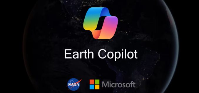
NASA and Microsoft’s Earth Copilot AI Initiative
Microsoft and NASA have partnered to launch the Earth Copilot AI Initiative, a transformative tool designed to simplify access to NASA’s vast Earth science data. This collaboration combines Microsoft’s cutting-edge
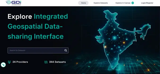
India Launches Geospatial Data Interface for Enhanced Data Sharing
The Ministry of Science and Technology recently launched the Integrated Geospatial Data-sharing Interface (GDI), a new initiative to streamline access to geospatial data in India. The announcement was part of
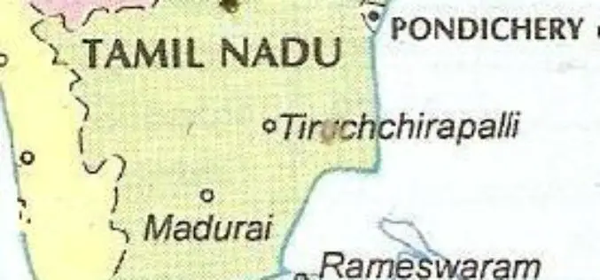
Tamil Nadu to Use GeoAI-based Smartphone App for Detecting Land Encroachments
The Tamil Nadu government is set to introduce an AI-powered smartphone app for detecting land encroachments. This innovative tool will utilize satellite imagery, GIS data, and a detailed geospatial database

Jakarta’s GIS Initiative for Sustainable Marine Ecosystem Conservation
In a bid to enhance marine ecosystem conservation, the Jakarta provincial government has introduced Geographic Information System (GIS) technology to better monitor and manage its marine spaces. Unveiled by Suharini
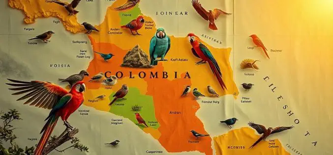
How Colombian Bird Mapping Supports Biodiversity Hotspots
A team of Colombian researchers, led by Natalia Ocampo-Peñuela, assistant professor of environmental studies, has introduced new mapping techniques that are transforming Colombian bird mapping and conservation efforts. Published in

UNOSAT Empowers Bhutan’s Geospatial Skills for Resilience
Bhutan, a landlocked country nestled in the Eastern Himalayas, faces significant environmental challenges due to climate change. With its fragile ecosystem, including 2,700 glaciers, the nation is increasingly vulnerable to

FAO Launches Remote Sensing Solutions for Mountain Ecosystem Monitoring
The Food and Agriculture Organization of the United Nations (FAO) has launched two new technical solutions to help countries monitor and report changes in their mountain ecosystems. These tools are
U.S. Census Bureau Geospatial Data Now in GeoPackage Format
The U.S. Census Bureau recently unveiled a major update with the release of new geospatial data that includes the TIGER/Line files in GeoPackage format for the first time. This dataset,
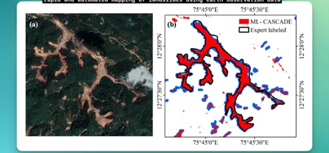
IIT Delhi Develops Tool for Automated Mapping of Landslide Events
Researchers from the Civil Engineering Department at IIT Delhi have introduced a groundbreaking tool, ML-CASCADE, aimed at Automated Mapping of Landslide extents using satellite data. This cloud-based machine learning tool
