
GIS
Esri Partners with NLC to Spur Government Innovation
Esri Open-Source Code and Open Data Give Developers Tools to Build Smart Communities Redlands, California—As part of its commitment to build smart communities, Esri is supporting the National League of

One Conference, Two Exciting Locations: ONLY TWO WEEKS UNTIL RIEGL LIDAR 2015!
May 5-8, 2015: RIEGL LIDAR 2015 in Hong Kong and Guangzhou (Canton), China Attendees from over 40 different countries! More than 100 international expert speakers on the Agenda! Have you secured
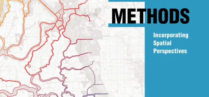
Incorporate Spatial Thinking into Scientific Research
New Book from Esri Teaches Geographic Information System Research Methods Redlands, California—Scientific data that’s spatially analyzed produces highly useful information for academics, scientists, and other researchers, helping them answer questions

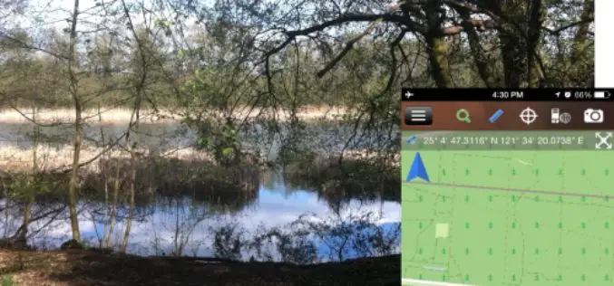
81 Villages in Noida To Be Mapped Using Drone
In recent news by ToI, Noida Authority is going to map individual houses of 81 villages in its administrative boundary. Bishanpura village is the first of 81 villages to be
Brandenburg Forest Office, Germany, Select SuperSurv for Forest Conservation
Supergeo Technologies, the leading GIS software and solution provider, announces that Brandenburg Forest Office (Landesbetrieb Forest Brandenburg), Germany has adopted the smart mobile GIS app—SuperSurv to investigate the forest conservation

Open Source Developers Signed a Letter Against Esri Proprietary LiDAR Format – “Optimized LAS”
We, the undersigned, are concerned that the current interoperability between LiDAR applications, through use of the open “LAS” format, is being threatened by ESRI’s introduction and promotion of an alternative
Mapmakers Invited to Submit Best of the Best – Esri’s Storytelling with Maps Contest
Esri Launches Worldwide Storytelling with Maps Contest Redlands, California—Mappers everywhere who harness the power of geographic information system (GIS) technology to tell their stories can now enter Esri’s Storytelling with
3D Laser Mapping to Revolutionise Building Surveys
3D Laser Mapping has launched a powerful solution that will revolutionise the production of highly accurate building floor plans. Combining the easy to use ZEB1 hand held laser mapping system
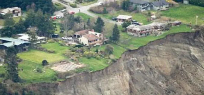
Washington State to Use LiDAR for Mapping of Geological Hazards
OLYMPIA, Washington – Gov. Jay Inslee has signed a bill that will allow Washington to have more information than ever about geologic hazards that threaten communities and citizens. Senate Bill

USGS Continues to Write History
New Volume of Agency Annals Released The fourth volume of the comprehensive history of the U.S. Geological Survey, Minerals, Lands, and Geology for the Common Defence and General Welfare: Volume
