

GIS
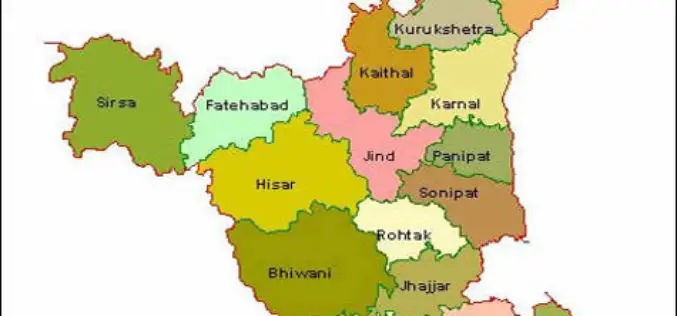
Haryana Government Sanctioned Rs 1.93 Crore Innovation Fund
In recent news, the Haryana government has sanctioned innovation funds of over Rs 1.93 crore to four districts namely Faridabad, Gurgaon, Karnal and Kurukshetra. Sumita Misra, principal secretary, science and
MAPAZONIA – A Crowdsourced Project to Map the Amazon
The Amazon rainforest also known in English as Amazonia or the Amazon Jungle covers most of the Amazon Basin of South America. This region includes territory belonging to nine countries: Brazil, Bolivia, peru, Ecuadoe, Colombia, Venezuela, Guyana, and

2015 USGIF Scholarship Program
USGIF’s purpose is to promote the geospatial intelligence tradecraft and to develop a stronger community of interest between government, industry, academia, professional organizations and individuals who share a mission focused
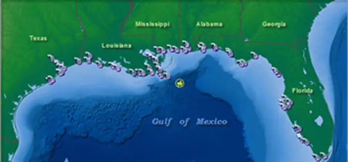
NOAA’s Online Mapping Tool ERMA Opens up Data to the Public
NOAA’s Environmental Response Management Application (ERMA) is a web-based mapping application that pulls in and displays both static and real-time data, such as ship locations, weather, and ocean currents. ERMA enables
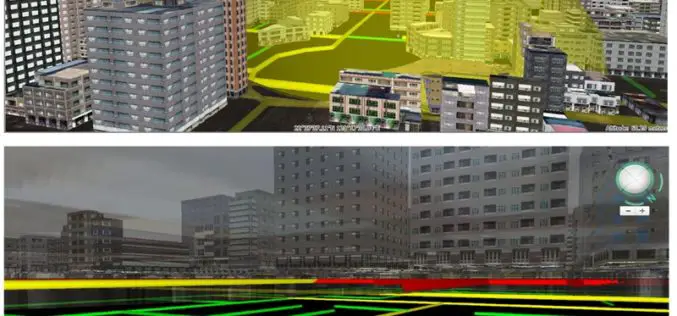
Improve Underground Utilities Management and Public Safety by 3D GIS
Developed by Supergeo Technologies, SuperGIS 3D Earth Server is going to support underground utilities management. The breakthrough tech enables administrators to comprehend the distribution of underground utilities that cannot be
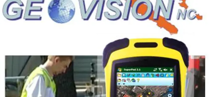
GEOVISION Utilizes SuperGIS for Maritime and Land GIS Planning
Supergeo Technologies Inc., the leading GIS software and solution provider, announces that GEOVISION, Nouvelle-Calédonie, selects cross-platform SuperGIS series products, SuperGIS Desktop, SuperSurv and SuperVeyor, to elevate its maritime and land

Learn Web GIS, Step by Step
Redlands, California—The growing popularity of web maps and apps calls for a workforce well versed in building them. That’s why Esri has published Getting to Know Web GIS, a new
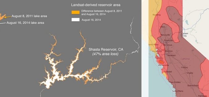
Drought Monitoring and Visualization with Open Data
Drought is condition when a region notes a deficiency in its water supply whether surface or underground water. A drought can last for months or years, or may be declared after
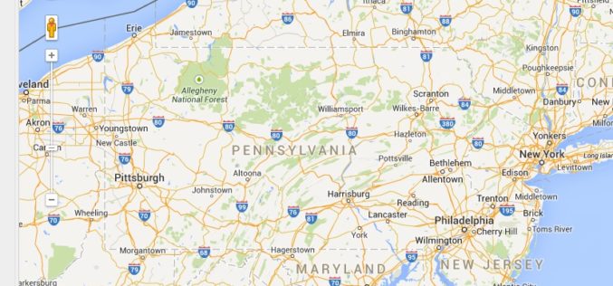
PAOneStop Online Tool for Farmers to Map Farm
The Penn State Cooperative Extension Land Analysis Lab has developed PAOneStop, an online tool for farmers. PAOneStop provides online tools to help farmers meet regulatory requirements for Conservation and Nutrient Management
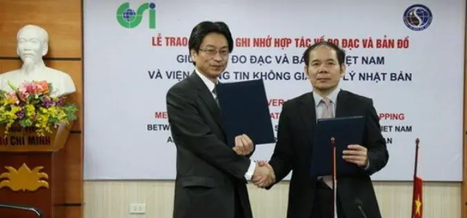
Vietnam and Japan Signed MoU to Cooperate in Geospatial Sector
The Vietnam Department of Survey and Mapping (VDSM) and the Geospatial Information Authority of Japan (GSI) exchanged a Memorandum of Understanding (MoU) on March 11 in Hanoi to commit to
