

Remote Sensing
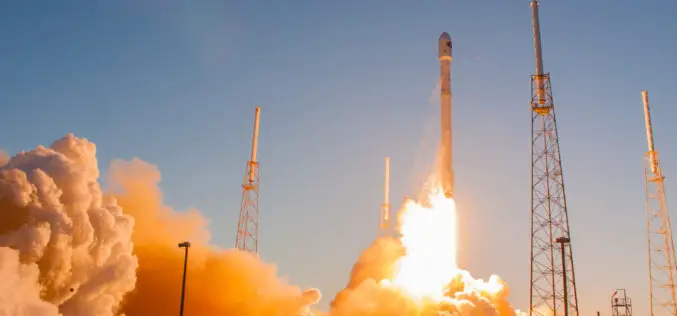
SpaceX Falcon 9 Successfully Launched Taiwan’s Formosat-5
A SpaceX Falcon 9 successfully launched a long-delayed remote sensing satellite for the government of Taiwan Aug. 24, executing another first stage landing in the process. The rocket’s only payload,

Flood Monitoring using SCATSAT-1 Satellite
Monsoon was active over different regions of India especially in Gujarat, Eastern Uttar Pradesh, Western Bihar, Assam and lately in West Bengal during mid July 2017. Heavy rains have created
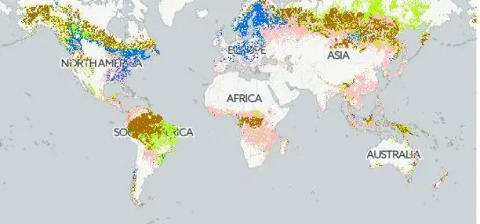
Safeguarding Sustainability Through Forest Certification Mapping
Using forest biomass products–such as timber, fuel wood, or paper–in a sustainable manner, without exhausting resources or diminishing forest biodiversity, requires transparency on the origin and management of those forests.
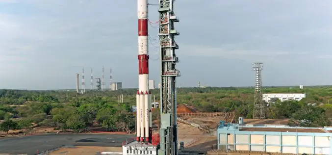
ISRO Successfully Launches Cartosat-2 Series Satellite Along with 30 Co-passenger Satellites
Jun 23, 2017 – ISRO’s Polar Satellite Launch Vehicle PSLV-C38 successfully launched the 712 kg Cartosat-2 Series Satellite along with 30 co-passenger satellites today (June 23, 2017) from Satish Dhawan Space
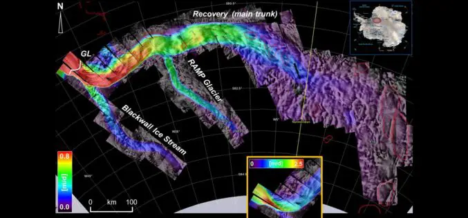
Excellence in space – 10 years of TerraSAR-X
The TerraSAR-X satellite has been in service for twice the planned time. The data has been providing valuable insights regarding changes to the Earth’s surface for the past 10 years.
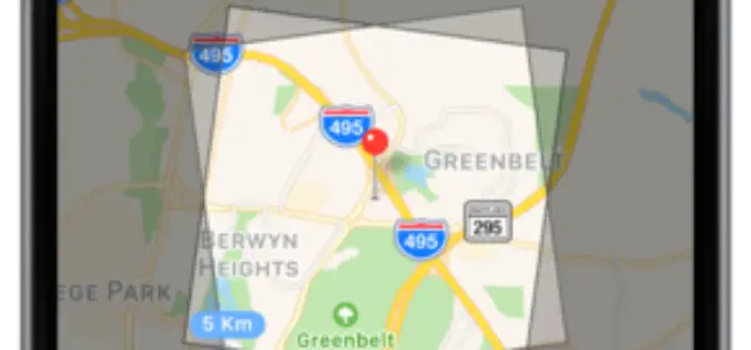
SAR and 40cm Optical Satellite Imagery Tasking With SpyMeSat Mobile App
GREENBELT, MD (June 1st, 2017) – Orbit Logic announced today that SpyMeSat mobile app users can now send new tasking requests to the KOMPSAT-5 Synthetic Aperture RADAR (SAR) imaging satellite

At Least 15 Russian Remote Sensing Satellites to Operate by 2020
Russian President Vladimir Putin stated that the remote sensing technologies must be used to boost the Russian defense and security, develop the economy and social sphere, and increase the quality
ISRO Develops “Solar Calculator” Android App
Computation of solar energy potential is essential to select the locations for solar photovoltaic (PV) thermal power plants. The use of remote sensing observations from geostationary satellite sensors is ideal to capture

NGA Solicits Input for Airborne SAR in Boosting Innovative GEOINT Topic Area
SPRINGFIELD, Va. – The National Geospatial-Intelligence Agency released the fifth topic of the agency’s Boosting Innovative GEOINT, or BIG, Broad Agency Announcement initiative, March 31, focused on airborne synthetic aperture

Geo-tagging of Agricultural Land for Crop Management
According to recent by The Pioneer, the Ministry of Agriculture is going to sign a Memorandum of Understanding (MoU) with National Remote Sensing Center (NRSC), ISRO, for geo-tagging every piece
