

Remote Sensing
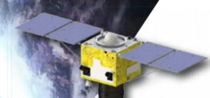
China Launches SuperView-1 Duo High-resolution Remote Sensing Satellites
December 28, 2016 – China today successfully launched a pair of high-resolution remote sensing satellites to get commercial images. The satellites were launched today from the Taiyuan Satellite Launch Centre in
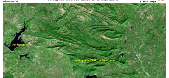
ISRO Releases First Day Images of RESOURCESAT-2A
RESOURCESAT-2A is a Remote Sensing satellite intended for resource monitoring. RESOURCESAT-2A was launched successfully by PSLV-C36 / on December 07, 2016 at 10:25 hrs (IST) from SDSC SHAR, Sriharikota. RESOURCESAT-2A is

Geological Survey of India Finds Huge Gold Deposits
Karnataka – According to recent news by the Deccan Herland, the Geological Survey of India (GSI) has found large gold deposits spread over 600 sq km between Shikaripur in Shivamogga
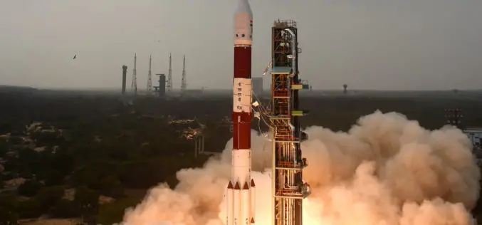
ISRO Successfully Launches RESOURCESAT-2A Remote Sensing Satellite
In its thirty-eighth flight (PSLV-C36), ISRO’s Polar Satellite Launch Vehicle successfully launched the 1235 kg RESOURCESAT-2A Satellite December 07, 2016 morning from Satish Dhawan Space Centre SHAR, Sriharikota. This is
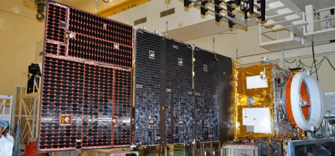
ISRO to Launch Remote Sensing Satellite – RESOURCESAT-2A on December 7
Capping a year of successful launches, Indian Space Research Organisation is all set to launch PSLV-C36 carrying remote sensing satellite RESOURCESAT-2A from the spaceport of Sriharikota on December 7, the

Sentinel-3A Sea & Land Surface Temperature Radiometer (SLSTR) Level-1B Data is Now Available at Near Real Time (NRT) Timeliness
Sentinel-3 is primarily an ocean mission, however, the mission will also be able to provide atmospheric and land applications. The mission will provide data continuity for the ERS, Envisat and
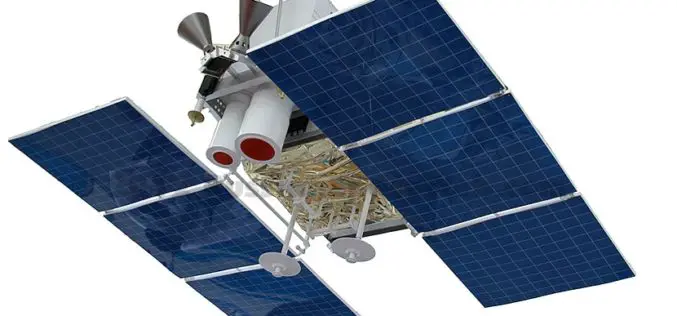
Russian Satellite “Canopus” Will be Part of Joint BRICS Nations
According to recent news Russia & India Report, the Russian satellite ‘Canopus’ will be part of the BRICS countries (Brazil, Russia, India, China and South Africa) joint grouping of remote sensing
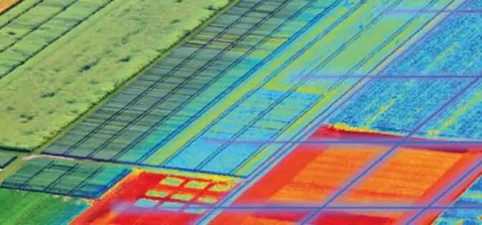
USDA Funds Bodkin Design to Develop UAV Sensor for Precision Agriculture
Bodkin Design & Engineering, LLC has been awarded a $100,000 contract from the U.S. Department of Agriculture (USDA) to develop a compact hyperspectral imager for UAV platforms. This unique camera

Iran Defines 7 Projects to Use Remote Sensing for Monitoring Agriculture
According to recent news by the Mehr news Agency, the Iranian Space Agency has defined 7 mega projects in the field remote sensing for monitoring agricultural products with high precision. Mohammad
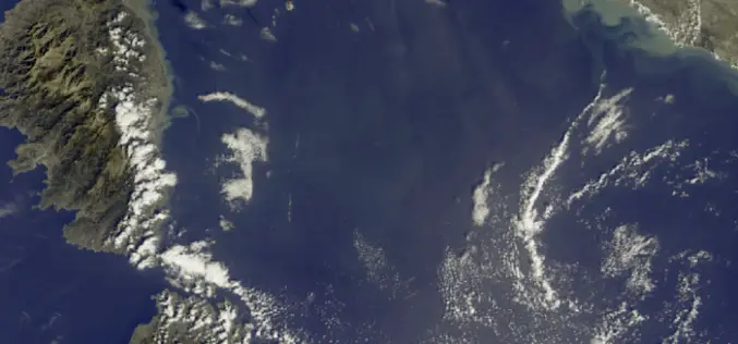
First Earth Colour Data Released by Sentinel-3A
20 October 2016 – The Copernicus Sentinel-3A satellite has taken another step towards being fully ‘operational’ as the first data from its Ocean and Land Colour Instrument are made available
