
Remote Sensing
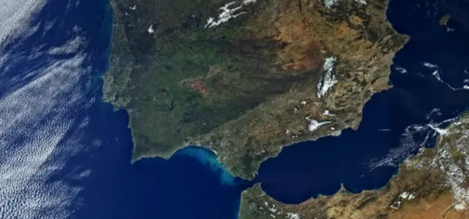
First Views of Earth From Sentinel-3
ESA– The first image from Sentinel-3A captures the transition from day to night over Svalbard, Norway, with detailed Arctic sea ice and some cloud features. Just after two weeks after
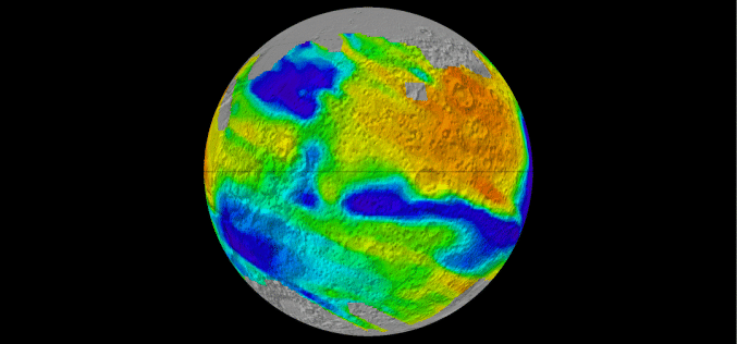
Global Albedo Map of Mars
The albedo of any planetary surface is defined as the fraction of incident solar radiation reflected by the surface. The magnitude and spatial distribution of Martian surface albedo are important
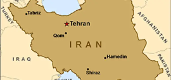
Iran Ready to Launch New Satellite
Iran has got its latest locally developed satellite, named Doosti (Friendship), ready to be launched into orbit, a senior Iranian official said. Iranian ICT Minister Mahmoud Vaezi has said that
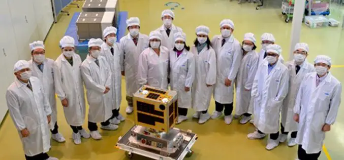
Philippines To Launch Its First Microsatellite
DIWATA-1, which was built by Filipino engineers working in collaboration with Japanese universities, is slated for launch in early 2016. The 50 kg DIWATA-1 microsatellite, named after the Filipino word

Remote Sensing Technology to Boost Pisciculture
Chhattisgarh, India – The government of Chhattisgarh will undertake a survey using remote sensing technology for mapping the location of ponds, rivers and other water bodies to encourage fish farming in
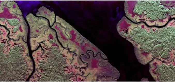
Radar Images to Study Rainforest
Dense rainforest, a twin-engine turbo-prop aircraft and advanced radar technology – researchers from the German Aerospace Center (Deutsches Zentrum für Luft- und Raumfahrt; DLR) are performing numerous measurement flights from
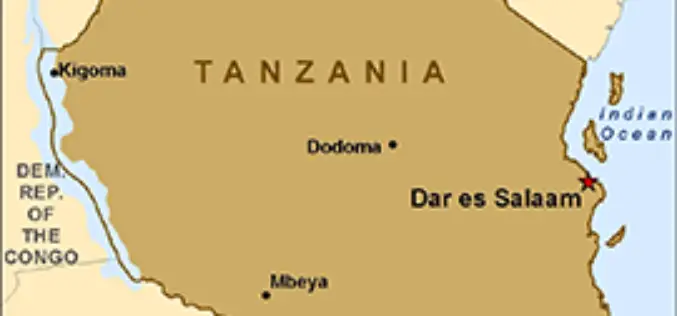
Tanzania Introduces Remote Sensing Technology for Crop Monitoring
The National Food Security Division in the Ministry of Agriculture Livestock and Fisheries in collaboration with the Sokoine University of Agriculture (SUA) and University of Maryland (USA) is implementing a
Learn What Sentinel-3 Will Tell Us About Oceans
Most of our planet is covered by oceans, which are directly linked to our weather and climate, and so play a key role in our well-being and economy. Still our
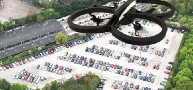
Drones Helping to Conduct High-Resolution Remote Sensing
New York: Earth and environmental scientists are relying on affordable advanced technological drones to conduct long-term high-resolution experiments at a much lower cost than using aircraft or satellites. Unmanned Aerial Vehicles
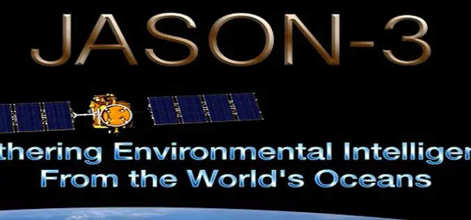
Jason-3 Successfully Launched
Vandenberg Air Force Base, California, 17 January 2016 – The Jason-3 high-precision ocean altimetry satellite was successfully launched from Vandenberg Air Force Base in California at 19:42 CET (10:42 California
