

Remote Sensing

Hexagon Showcases Geospatial Enterprise Solutions at ISPRS 2016
Hexagon AB, a leading global provider of information technologies that drive productivity and quality across geospatial and industrial enterprise applications, will showcase its geospatial enterprise solutions at XXIII ISPRS (International

Copernicus Thematic Workshop With Private Sector Representatives on Raw Materials and the Extractive Industries
Copernicus Thematic Workshop With Private Sector Representatives on Raw Materials and the Extractive Industries Copernicus is a user-driven programme with an important impact on different societal areas involving diverse communities
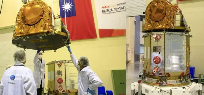
Taiwan to Use Japan’s Satellite Services Until FORMOSAT-5 is Launched
According to recent news by the Taipai Times, Taiwan would seek to use Japan’s satellite services until its newest satellite, the FORMOSAT-5, can be launched later this year. Minister of
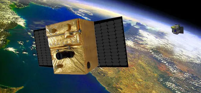
BIROS Fire Detection Satellite Successfully Launched into Space
On 22 June 2016 at 05:55 CEST, the BIROS (Bi-Spectral Infrared Optical System) microsatellite was successfully launched into space from the Satish Dhawan Space Centre in India on board a Polar

Post-Doctoral Researcher in Grass Crop Remote Sensing and Modelling
The University of Reading is ranked in the top 1% of universities in the world. We are a global university that enjoys a world-class reputation for teaching, research and enterprise.

Russia and Italy Agree to Create Remote Sensing Satellite Constellation
MOSCOW (Sputnik) – Russia’s space agency Roscosmos and the Italian Space Agency (ASI) will sign an agreement to create a joint satellite constellation for remote earth sensing later in the day, Roscosmos head
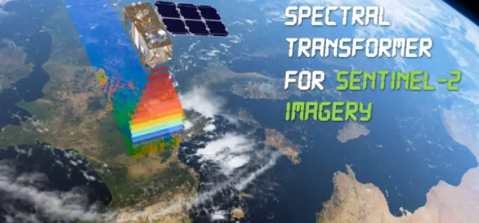
Spectral Transformer for Sentinel-2 Imagery Just Released
In a recent update, GeoSage has just released a software tool for the ESA’s 10m-resolution Sentinel-2 imagery. As many of you already know, the Sentinel-2 satellite is equipped with even more
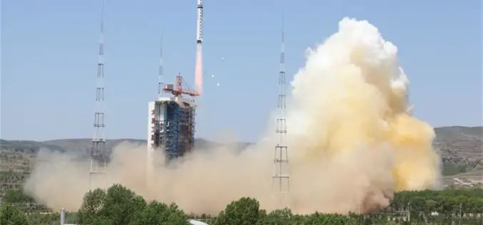
China Launches New High-resolution Satellite for Civilian Mapping
IANS – China on Monday launched a new civilian high-resolution mapping satellite from the Taiyuan Satellite Launch Centre in Shanxi province. The 2.7-tonne Ziyuan III 02 satellite soared on the back

Royal Society Funded PhD Studentship: Remote Sensing to Assess and Monitor Funding Conditions
Swansea University is a research-led university that has been making a difference since 1920. The University community thrives on exploration and discovery, and offers the right balance of excellent teaching
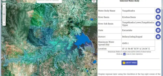
Temporal Repetitive Mapping of Water Bodies Across India
National Remote Sensing Centre (NRSC), ISRO at Hyderabad monitors the status of all the water bodies in the country using satellite images and provides water spread area information on a
