

Remote Sensing
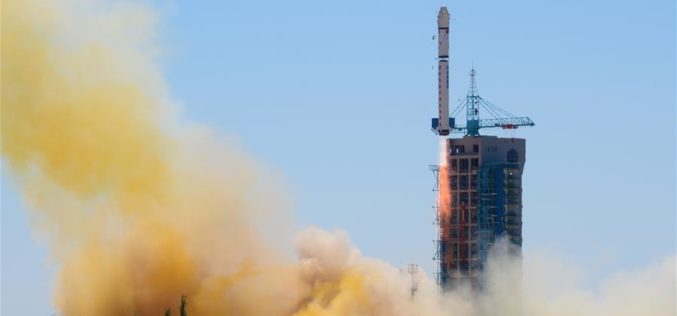
China Launches Yaogan-30 Remote Sensing Satellite
According to recent news by Xinhua, China has successfully launched Yaogan-30 remote sensing satellite into space. The spacecraft lifted off at 10:43 a.m. local time Sunday, May 15 (10:43 p.m. EDT

Satellite Reveals Decline in the Number of Forest Fires in Uttarakhand
According to recent news by The Hindu, Satellite images show that there’s been a decline in the number of forest fires in Uttarakhand since April 28. Though fires in the
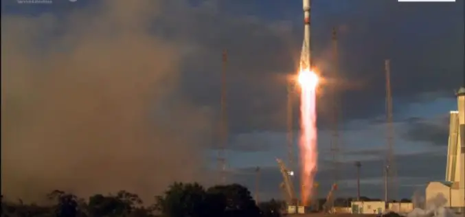
Sentinel-1B – Second Eye of the Earth Guardian in Orbit
Dual launch for European environmental satellite and MicroSCOPE small satellite mission Two eyes are better than one; this principle is also true for the two radar satellites that make up

North Korea’s Nuclear Bomb Test Mapped by Europe’s Sentinel-1a
North Korea’s underground nuclear bomb test done in January 2016 has been mapped by Europe’s Sentinel-1a radar satellite. When it happened, The United States Geological Service reported a 5.1 magnitude
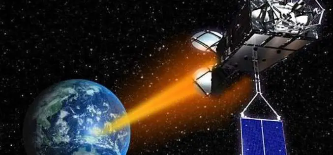
Pakistan Inked Contract with China to Develop First Remote Sensing Satellite
According to recent news by The Nation, Pakistan Space & Upper Atmosphere Research Commission (SUPARCO) and China Great Wall Industry Cooperation (CGWIC) signed a contract on Wednesday for the development and

PhD Position: Methodological, Algorithm and Processing Chain Development for Analysis of Hyperspectral Image Data
The institute section “Land Surface” deals with the development of remote sensing methods based on various earth observation systems that are specifically adapted for the respective application scenarios. Key issues
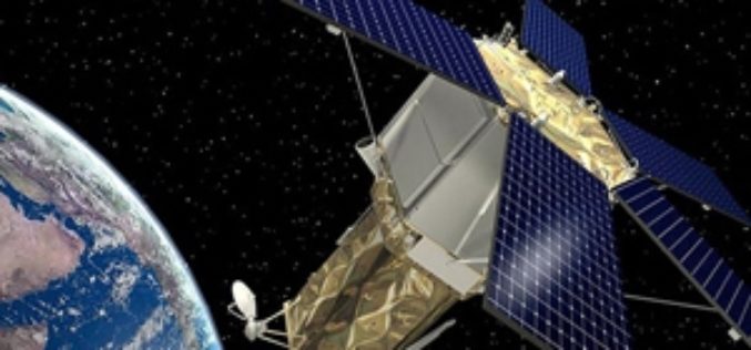
Second Belarusian Remote Sensing Satellite in Orbit in 2019
MINSK, 7 April (BelTA) – The Belarusian satellite BKA-2 is supposed to be inserted into an orbit around the Earth in 2019, BelTA learned from Sergei Zolotoi, Chief Designer of
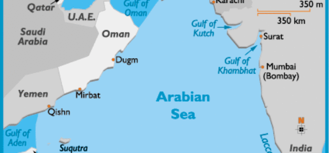
Ocean Acidification Observed in Arabian Sea
The Arabian Sea, cradling a diversity of marine habitats including coral reefs, is witnessing acidification of its surface waters, a consequence of excessive carbon dioxide in the atmosphere, say Indian
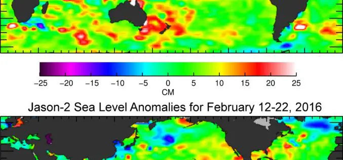
Jason-3 Begins Mapping Oceans
Just over a month after launch, Jason-3, a U.S.-European oceanography satellite mission with NASA participation, has produced its first complete science map of global sea surface height, capturing the current

Iran and APSCO Jointly to Build a Remote Sensing Satellite
According to recent news by the Trend New Agency, Iran and seven member states of the Asia-Pacific Space Cooperation Organization (APSCO) are negotiating to jointly design and build a remote sensing
