 HANOI, Sept. 5 (Xinhua) — Control of Vietnam’s first remote sensing satellite, VNREDSat-1, has been officially handed over to the Vietnam Academy of Science and Technology (VAST) four months after its launch, local media reported Thursday.
Astrium SAS, an affiliate of the European Aeronautic Defence and Space Company and designer of the satellite, signed off on the new space hardware and handed to VAST, according to local Nhan Dan (The People’s) newspaper on Thursday.
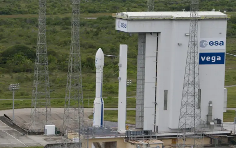
VNREDSat-1 was sent into orbit on May 7 from a launch pad in Kourou, French Guiana. It is capable of capturing images from all around the world, which will help in assisting emergency services during flooding, forest fires, oil overflow and other serious incidents.
Funding for the satellite came from the French government’s Official Development Assistance with 55.8 million euros (73.5 million U.S. dollars), and Vietnamese government with nearly 65 billion VND (3.2 million U.S. dollars).
As of Sept. 1, the satellite snapped and recorded over nine thousand images, of which nearly one thousand were of Vietnamese territory.
To become expert operators in controlling the satellite, 15 engineers from VAST were sent to France in 2011 for specialized training courses.
According to VAST, Vietnam launched two telecommunications satellites, Vinasat-1 in 2008 and Vinasat-2 in 2012. After successful launch of the VNREDSat-1, a fourth made-in-Vietnam micro satellite, called Pico Dragon, was shipped to the International Space Station on Aug. 4 in preparation for a mission in space.
Source: English.news.cn