
Webinars

MAPPS to Host Webinar on UAS Section 333 Application Process
MAPPS, the national trade association for private sector geospatial firms, today announced it will host a special webinar to discuss the process to apply with the Federal Aviation Administration for
Webinar: Streamlining Field Survey & Mobile Mapping by SuperSurv
Supergeo Webinar: Streamlining Field Survey & Mobile Mapping by SuperSurv Join us on Wednesday, June 4th 11:00 AM – 12:00 PM (EDT, New York Time) How could smart devices assist in field survey
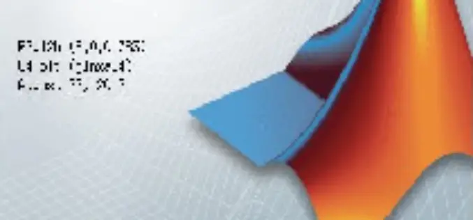
Webinar: Introduction to MATLAB
Introduction to MATLAB 22 May 2014 3:00 PM IST (India Standard Time) Join online as to get introduction to MATLAB, a high-level language and interactive environment for numerical computation, visualization, and
Streamlining Field Survey & Mobile Mapping by SuperSurv
Streamlining Field Survey & Mobile Mapping by SuperSurv Join on Wednesday, June 4th 11:00 AM – 12:00 PM (EDT, New York Time) About Webinar: How could smart devices assist in

NOAA webinar: Introduction to Geospatial Metadata – Tools for ISO Metadata
This course presents the concept, principles, and value of metadata utilizing the International Organization for Standardization (ISO) metadata. It provides the content and structure of the IS0 191** series metadata

Free SuperGIS Webinar on Facilitating Field Tasks by Mobile GIS
Facilitating Field Tasks by Mobile GIS Wednesday, May 7th; 11:00 AM – 12:00 PM (EDT, New York Time) Mobile GIS changes the way we capture and update field data. Geospatial information can
USGS Webinar: The National Elevation 3D Program (3 DEP)
A Conversation with the USGS: The National Elevation 3D Program (3 DEP) Tuesday, April 29, 2014 1:00 PM – 2:00 PM CDT The United States Geological Survey is embarking on

Webinar on Remote Sensing of Vegetation
Remote Sensing of Vegetation Wednesday, April 23, 2014 2:30 PM – 3:30 PM EDT MundoGEO and Workshop Ends invite the entire community of geotechnology to participate in an online
USGS Webinar: Using The National Map Services to Enable your Web and Mobile Mapping Efforts
Are you a developer, firm, or organization using mobile or web applications to enable your users? The USGS has publicly available geospatial services and data to help you! The USGS’

Remote Sensing and Earth Observation Fields Webinar – NSW
The webinar aims to bring together people who are working in the remote sensing and earth observation fields to hear how these professionals are using earth observation data for their
