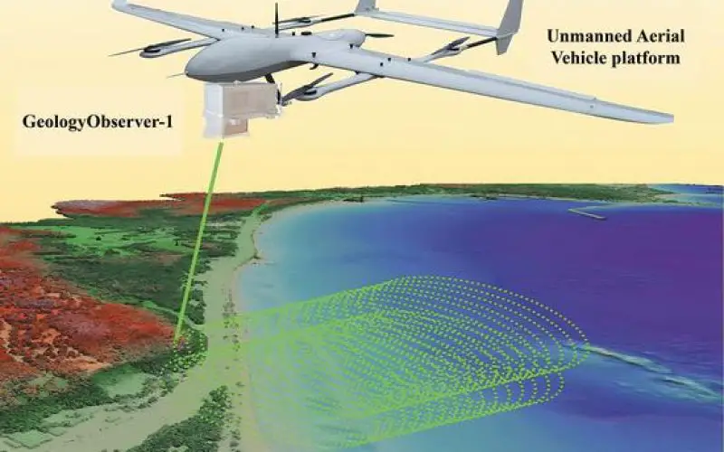
Chinese researchers have unveiled the GeologyObserver-1, a cutting-edge airborne device designed to create precise 3D surface models of both terrestrial and aquatic environments. This breakthrough is expected to transform environmental monitoring and resource exploration in complex landscapes.
A Leap in LiDAR Technology
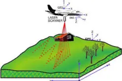
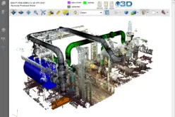
GeologyObserver-1 utilizes photon-counting LiDAR (Light Detection and Ranging) technology, which employs laser pulses to measure distances and generate highly accurate 3D data. Unlike traditional systems, this advanced device excels in integrated land and sea remote sensing, making it ideal for rugged terrains, islands, and underwater regions.
China’s geological diversity—ranging from mountains to coastal zones—has posed challenges for traditional surveying methods. The GeologyObserver-1 addresses these challenges with enhanced versatility. It can be mounted on drones or aircraft, enabling efficient data collection in remote or harsh environments.
Also Read – How UAV LiDAR Technology Is Transforming Operational Forest Management
Real-World Applications
Tested on Weizhou Island and the Nansha Islands, GeologyObserver-1 has proven its capability in mapping underwater terrain. It outperforms conventional tools like sonar and satellite sensors by accurately identifying small underwater objects. This makes it invaluable for applications such as:
- Monitoring water pollution in coastal zones.
- Managing ports and beaches by providing detailed underwater topography.
- Supporting safe navigation for large cargo vessels.
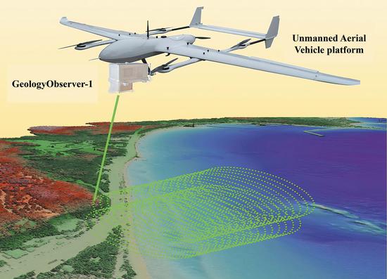
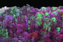
Additionally, the device aids agriculture by collecting detailed data on farmland. It generates 3D models of crops, analyzing attributes such as plant height, canopy width, and leaf area. These insights support crop health monitoring, yield prediction, and weed detection, benefiting precision farming.
Pioneering Market Potential
Professor Wang Lizhe of the China University of Geosciences (Wuhan) highlights that GeologyObserver-1 targets emerging markets in 3D modelling and coastal zone mapping. With ongoing collaborations to enhance functionality and reduce costs, this device is positioned to significantly impact the economy.
A Global Benchmark
The GeologyObserver-1’s dual-frequency detection system, developed in partnership with the Shanghai Institute of Optics and Fine Mechanics, sets a new standard in LiDAR technology. Tao Bangyi from the Ministry of Natural Resources confirms that its capabilities match leading global standards.
Conclusion
The GeologyObserver-1 exemplifies innovation in remote sensing, bridging gaps in land and sea data collection. This technology redefines the future of geospatial research by paving the way for smarter resource management and environmental protection. What are your thoughts on its potential impact? Share your insights in the comment section below!
Source: Ecns.cn


