Washington State Department of Natural Resources Published New Landslide Mapping Standards Using LiDAR
Protocol standardizes methods for using LiDAR to map landslides in Washington State
The Washington State Department of Natural Resources (DNR) has published standardized methods for mapping landslides in Washington using lidar.
Geologists from the Washington Geological Survey, a division of DNR, created the new protocol to ensure the many agencies that map landslides do so with consistent data that can be easily catalogued.
“Our mission is to be the go-to source for information about Washington’s unique geology. To do that, we need to be using consistent, accurate data,” said State Geologist Dave Norman. “We developed these mapping standards to make sure geologists doing this important work are all singing from the same sheet of music.”
DNR was mandated by the legislature in 2015 to collect, analyze and distribute lidar maps of geologic hazards. That mandate came with funding to collect lidar images of Washington and funded additional landslide geologists to field-truth this new information. Those geologists used the new landslide mapping protocol to inventory landslides in Pierce County. They are currently using the protocol to map landslides along the Columbia River Gorge.
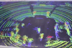
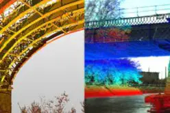
Lidar (Light Detection and Ranging) uses lasers mounted on aircraft to scope topography by measuring reflected light. Those beams of light infiltrate the forest canopy, ground cover and human development to allow mappers and scientists to see the topography of landforms below with pinpoint accuracy.
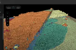
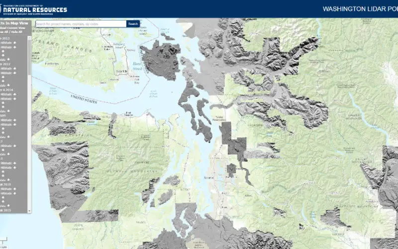
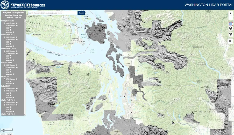
Mapped data will be posted on the survey’s Geologic Information Portal. Earlier this year, DNR launched an online lidar database to provide more information on geologic hazards impacting Washington communities. The portal is a collection of lidar from DNR’s inventory, projects from the Puget Sound Lidar Consortium as well as data donated from counties and cities.
The Washington Lidar Portal is designed to allow for easy access and download of publically available lidar data.
To view the portal, visit: lidarportal.dnr.wa.gov. For more about lidar, visit www.dnr.wa.gov/lidar
MEDIA CONTACT
Joe Smillie
Communications Manager
360-902-1169
joe.smillie@dnr.wa.gov