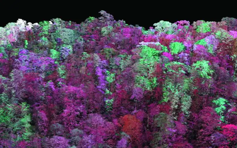
The Odisha state government is using LiDAR technology for the first time to implement soil and water conservation projects in forest areas. The initiative aims to increase groundwater recharge by reducing human-animal conflicts and enhancing fodder availability in forests.
According to Principal Chief Conservator of Forests (PCCF) and Head of Forest Force (HoFF) Sisir Kumar Ratho, the laser scanning technology is being piloted in the Rayagada forest division to create soil and water conservation structures in the first phase.
The Forest Department is using CAMPA funds to carry out the project with the support of Water and Power Consultancy Services Limited (WAPCOS), a central PSU under the jurisdiction of the Ministry of Jal Shakti.
Also Read – GIS Resources Magazine (Issue 4 | December 2021): LiDAR Technology in Forestry Mapping
In its Detailed Project Report (DPR), WAPCOS recommended the construction of 945 different soil, soil moisture, and water conservation structures covering 10,000 hectares within the sector. To make the process more scientific, six different parameters were considered when selecting structural sites, such as soil moisture stress, land use patterns, and rainfall data. The PCCF said that if successful in the sector, the Forest Department will replicate it in other parts of the state in the future.
In addition to Orissa, WAPCOS conducted a LiDAR-based survey of forest areas in 10 other states of India, including Assam, Bihar, Chhattisgarh, Goa, Jharkhand, Madhya Pradesh, and Maharashtra.
Source – The New Indian Express