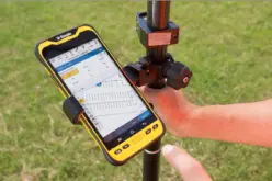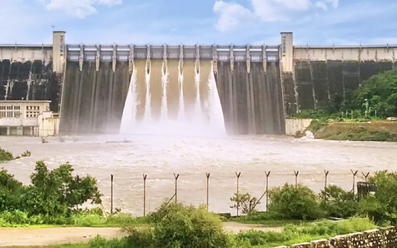
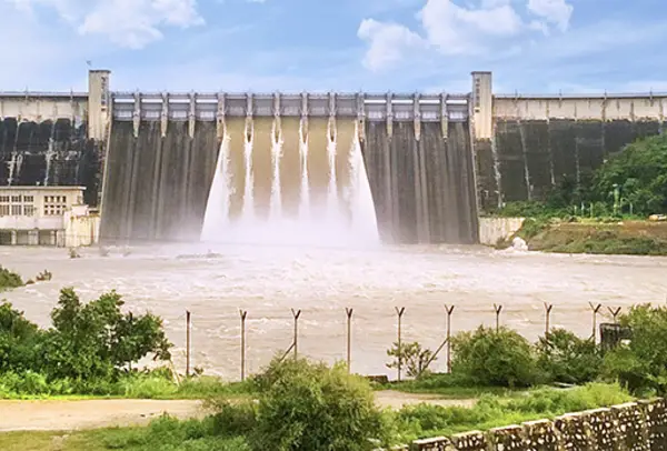
The Uttar Pradesh (UP) government has initiated a significant project utilizing drones and remote vehicles to conduct the Rihand Dam survey. The Rihand Dam in the Sonbhadra district of Uttar Pradesh. This initiative is part of a broader effort to enhance monitoring and maintenance capabilities for the dam, which is crucial for both water management and power generation in the region.
Drones are being deployed to capture high-resolution images and videos of the dam’s structure, reservoir, and surrounding areas. These aerial surveys provide detailed data that helps in assessing the condition of the dam, detecting any potential issues such as cracks or erosion, and ensuring the structural integrity of the facility. Remote-operated vehicles (ROVs) are used to inspect underwater sections of the dam, offering insights into areas that are otherwise difficult to access.
Similar Read: LiDAR Technology for Monitoring Bridge Structure Defects and Health
The technology employed includes aerial and underwater drones for high-resolution imaging and videography, which will map above-water and underwater cracks. A total of 35,000 square-meter riverbeds with above-water and underwater cracks will be mapped and will include 2D and 3D models, aiding in the assessment and identification of structural defects. This information will be compiled into a detailed project report.
The dam survey aims to assess the dam’s condition and will cost approximately Rs 76.50 lakh, to be completed within three months.
In addition to improving dam safety and maintenance, this technology-driven approach is also being used to support the implementation of the country’s largest floating solar project at Rihand Dam.
The dam, which has already received approval from the Uttar Pradesh Electricity Regulatory Commission (UPERC), involves the installation of a 150 MW floating solar plant on the reservoir. This plant is expected to significantly boost renewable energy generation in the state.
Overall, the use of drones and remote vehicles in surveying the Rihand Dam is a forward-looking step by the UP government, aligning with their goals of enhancing infrastructure management and promoting sustainable energy solutions.