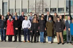
Union Minister Dr. Jitendra Singh Launches CORS Network Operated by Survey of India
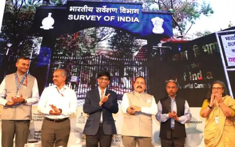
In a significant stride towards bolstering India’s geospatial infrastructure, Union Minister Dr. Jitendra Singh inaugurated the nationwide CORS network operated by Survey of India. The cutting-edge initiative, known as the “Continuously Operating Reference Stations” (CORS) Network, is set to revolutionize the country’s surveying and mapping capabilities.
Speaking at the occasion, Union Minister Dr. Jitendra Singh emphasized the critical role of advanced geospatial data in various sectors, including urban planning, agriculture, disaster management, and infrastructure development. He highlighted how the CORS Network would enhance the accuracy and efficiency of surveying activities across the nation.
India now has a world class Precise Location based service, which is capable to provide centimetre level positioning services in realtime.
Dr Jitendra Singh
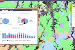
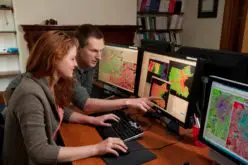
The CORS Network consists of state-of-the-art Continuously Operating Reference Stations strategically positioned across the country. These stations are equipped with cutting-edge technology, including Global Navigation Satellite System (GNSS) receivers and other sensors, enabling them to continuously collect precise positioning data. This real-time data will be invaluable for applications such as land surveying, infrastructure planning, and natural resource management.
The Survey of India has set up more than 1,000 CORS stations across India.
In addition to the Geospatial sector, CORS based precision services will also boost auto navigation and machine control-based solution in Agriculture, Mining, Construction, Transport and Civil Aviation sector. This will open new domains of innovation and research and create a Geospatial based ecosystem in these sectors.
CORS data will also aid in various scientific studies like Upper Atmosphere and Space weather studies, Meteorology and weather forecast, Plate motion and Tectonic studies, Seismology and Hydrology etc. Nationwide CORS based services will be available to business and pubic, which will not only ensure coherence in geospatial data generated by different stake holders by providing them common reference, but will also increase their productivity.
Impetus given to S&T and providing an enabling milieu for innovation are the hallmarks of the Government led by the visionary Prime Minister Shri Narendra Modi.
Dr Jitendra Singh
“The Government has initiated several growth-oriented initiatives the SVAMITVA project for mapping of rural abadi areas, the PM-Gati Shakti National Master Plan for Multi-Modal Connectivity, Smart Cities & AMRUT Project for urban development, Bharatmala and Sagarmala Projects for improving the logistics sector, National Hydrology Project to harness water resources and multiple other infrastructural and developmental projects. The common thread among all these projects is the requirement of high-accuracy mapping and positioning data, the deregulation of Geospatial Sector and democratization of Geospatial data has resulted in ease of access to these datasets to various user groups,” he said.
As the CORS Network becomes operational, it is poised to usher in a new era of precision, reliability, and efficiency in surveying and mapping activities across India, paving the way for transformative developments in various sectors and ensuring a brighter future for the country.
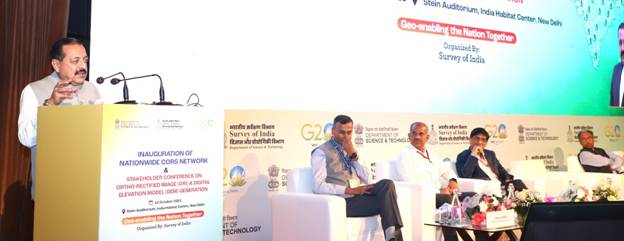
On the occasion, Dr Jitendra Singh inaugurated the stakeholder conference for Ortho rectified Image (ORI) and Digital Elevation Model (DEM). He also felicitated winners of Geospatial hackathon, conducted by Survey of India in partnership with IIIT Hyderabad and Microsoft Inc.
Important Links
Continuously Operating Reference Stations(CORS)
Source: PIB