Estimation of Daily Evapotranspiration by Three-Temperature Model At Large Catchment Scale
Estimation of Daily Evapotranspiration by Three-Temperature Model At Large Catchment Scale
Y. J. Xiong , G. Y. Qiu, J. Yin, S. H. Zhao, X. Q. Wu , P. Wang , S. Zeng
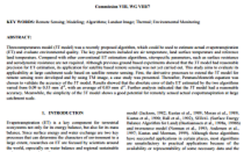
 Abstract: Three-temperatures model (3T model) was a recently proposed algorithm, which could be used to estimate actual evapotranspiration (ET) and evaluate environmental quality. The key parameters included are air temperature, land surface temperature and reference land temperature. Compared with other conventional ET estimation algorithms, site-specific parameters, such as surface resistance and aerodynamic resistance are not required. Although previous ground based experiments showed that the 3T model had reasonable precision for ET estimation, its application for satellite based remote sensing was not yet carried out. This study aims to evaluate its applicability at large catchment scale based on satellite remote sensing. First, the derivative processes to extend the 3T model for remote sensing were developed and by using TM image, a case study was presented. Thereafter, Penman-Monteith equation was chosen to validate the accuracy of the 3T model. Results showed that the absolute error of daily ET estimated by the two algorithms varied from 0.09 to 0.53 mm d-1, with an average of 0.05 mm d-1. Further analysis indicated that the 3T model had a reasonable accuracy. Meanwhile, the simplicity of the 3T model shows a good potential for remotely sensed actual evapotranspiration at large catchment scale.
KEY WORDS: Remote Sensing; Modeling; Algorithms; Landsat Image; Thermal; Environmental Monitoring
About Author
Related Articles
Estimation and Validation of Land Surface Temperatures from Chinese Second-Generation Polar-Orbit FY-3A VIRR Data
