Estimation and Validation of Land Surface Temperatures from Chinese Second-Generation Polar-Orbit FY-3A VIRR Data
Estimation and Validation of Land Surface Temperatures from Chinese Second-Generation Polar-Orbit FY-3A VIRR Data
– Bo-Hui Tang, Kun Shao , Zhao-Liang Li, Hua Wu, Françoise Nerry and Guoqing Zhou
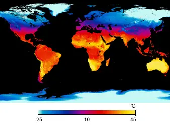
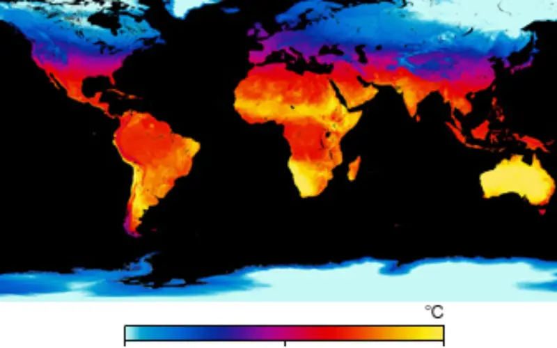
April 30, 2009 – Average Land Surface Temperature
Credit: NASA
Abstract: This work estimated and validated the land surface temperature (LST) from thermal-infrared Channels 4 (10.8 µm) and 5 (12.0 µm) of the Visible and Infrared Radiometer (VIRR) onboard the second-generation Chinese polar-orbiting FengYun-3A (FY-3A) meteorological satellite. The LST, mean emissivity and atmospheric water vapor content (WVC) were divided into several tractable sub-ranges with little overlap to improve the fitting accuracy. The experimental results showed that the root mean square errors (RMSEs) were proportional to the viewing zenith angles (VZAs) and WVC. The RMSEs were below 1.0 K for VZA sub-ranges less than 30° or for VZA sub-ranges less than 60° and WVC less than 3.5 g/cm2, provided that the land surface emissivities were known. A preliminary validation using independently simulated data showed that the estimated LSTs were quite consistent with the actual inputs, with a maximum RMSE below 1 K for all VZAs. An inter-comparison using the Moderate Resolution Imaging Spectroradiometer (MODIS)-derived LST product MOD11_L2 showed that the minimum RMSE was 1.68 K for grass, and the maximum RMSE was 3.59 K for barren or sparsely vegetated surfaces. In situ measurements at the Hailar field site in northeastern China from October, 2013, to September, 2014, were used to validate the proposed method. The result showed that the RMSE between the LSTs calculated from the ground measurements and derived from the VIRR data was 1.82 K.
Download Paper