Geographic Calculator 2016 SP2 Release Coincides with the Unveiling of the New Cloud-Based Online GeoCalc Geodetic Registry
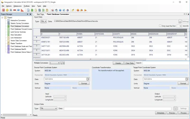
Blue Marble Geographics is pleased to announce the immediate availability of Geographic Calculator 2016 Service Pack 2 (SP2). This release includes numerous improvements to the usability of the software; updates to the geodetic data source, which forms the core of the application; access to the new online GeoCalc Geodetic Registry; and a new tool for reading and writing coordinate system definitions to a Petrel™ CTL database.

Download an evaluation copy of Geographic Calculator 2016 or upgrade to the latest version today!
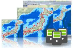
The Geographic Calculator is recognized as the foremost tool for addressing and solving the most complex and demanding geodetic challenges. As the industry leader, this powerful application has become an essential part of the data management toolkit for businesses, organizations, and government departments where spatial data must be accurate and consistent.
New and updated functionality in the latest Service Pack release includes:
– Access to the new online GeoCalc Geodetic Registry for on-demand, cloud-based geodetic parameters
– The ability to read and write coordinate system definitions directly to a Petrel CTL database
– An improved Area Calculation tool with multi-row selection for deletion and path-to-next updates
– A new option to freeze or lock columns in Point Database and Seismic Conversion jobs
– Numerous data source updates including access to version 9.0 of the EPSG database
To introduce the latest developments in Geographic Calculator, Blue Marble will be presenting a free webinar entitled “What’s New in SP2” on Wednesday, February 1st at 2:00pm EST. Registration is required and space is limited so be sure to sign-up today.
For Global Mapper users, a current Geographic Calculator license will provide access to the GeoCalc library of geodetic parameters from within the software. This connection between Blue Marble’s geospatial software products combines Global Mapper’s unmatched data format support and analysis tools with the industry’s leading coordinate system and projection management capabilities.
To download a trial copy of the Geographic Calculator 2016 or to see a complete list of the new features and functions, visit:
http://www.bluemarblegeo.com/products/geographic-calculator.php
A current copy of Geographic Calculator is required to use the GeoCalc Geodetic Registry. Contact Blue Marble at info@bluemarblegeo.com for more information.