GIS Resources Magazine (Issue 1 | March 2022): Geospatial Technologies for Crop Damage and Compensation Estimation
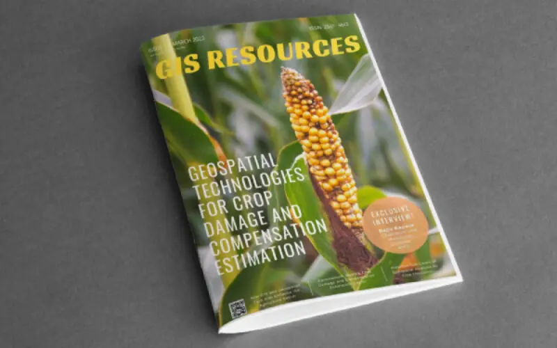
GIS Resources is pleased to announce the publication of its 1st edition (March 2022) of the print and digital magazine. The edition titled “Geospatial Technologies for Crop Damage and Compensation Estimation.”
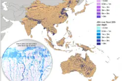
The crop damage and compensation estimation process is a tedious process in the traditional way. More efficient and near real-time Geospatial Technologies that can provide statistics and estimates that can provide relief to farmers.
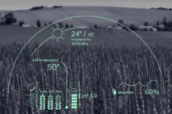
Geospatial Technologies can provide a solution to this recurring problem. The solution is simple and straightforward provided the digital framework is in place. The digital framework is that each parcel corner must have unique coordinates in a spatial reference frame.
Current-day mobile technology comes embedded with GPS technology. This mobile technology can be used to take pictures of crop damage in which each picture will have the coordinates of the position at which the picture was taken.
This method will enable the farmer to inform about crop damage and the probable extent of crop damage in near real-time. This information can be used to provide timely compensation through DBT to the farmer for crop damage so that he has enough funds to prepare for his next crop.
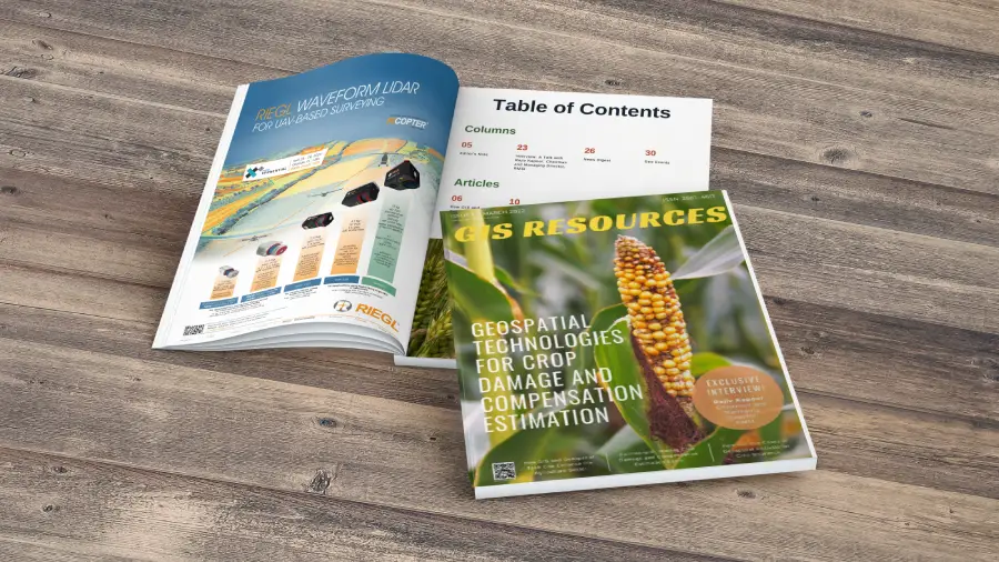
Following are the articles published in this edition:
- How GIS and Geospatial Tech Can Enhance the Agriculture Sector – by Radha Basu, Founder, and CEO, iMerit.
- Farmoanut®:Making Crop Damage and Compensation Estimation Easier – by Dipanker Gyan, Partner at Farmonaut, Farmonaut.
- Potential Use Cases of Geospatial Analysis for Crop Insurance – by SatSure.
- Solar Induced Chlorophyll Fluorescence – A Better Predictor of Crop Stress Through Satellite Remote Sensing – by Dr. Prakash Mohan MM (Alumni BITS Hyderabad) and Dr. Rajitha K (Asst. Professor BITS Hyderabad, Civil Engineering Department).
- An Interview with – Rajiv Kapoor, Chairman and Managing Director, RMSI.
Also Read –
GIS Resources Magazine (Issue 4 | December 2021): LiDAR Technology in Forestry Mapping