 In recent news Uttar Pradesh Government has launched second phase of the UP Water Sector Restructuring Project. The World Bank is funding the project with an interest free loan of Rs. 2, 160 crore.
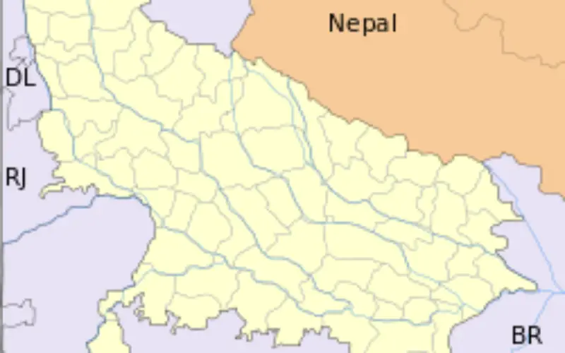
In the second phase of implementation, the project will include Flood Management Information System (FMIS). The project will involve implementation of modern technology such as remote sensing, geographical information system (GIS)
“The project will also strengthen over 22,000 water users associations. The Flood Management Information System and flood forecasting tools that will be developed for the Rapti Basin is expected to impact a large population covering over 1.8 million hectares”
Country director of World Bank, Onno Ruhl, said “improvements in water use efficiency will not only help the agriculture sector, the largest consumer of water in India, but also address the growing mismatch between water demands and use patterns, a critical problem that cuts across many development challenges in UP, and India more generally.”
The project also plans to develop an integrated water resources information system ‘State Water Resources Agency – (SWARA)’.
Source: Times of India