GIS Resources Magazine (Issue 2 | June 2022): LiDAR For Real-World 3D Modelling Applications

GIS Resources is pleased to announce the publication of its 2nd edition (June 2022) of the print and digital magazine. The edition titled “LiDAR For Real-World 3D Modelling Applications.”
The LiDAR technology enables the capture of vertical and horizontal positions. A planner gets to visualize a terrain in its entirety, that is, in three dimensions. The enhanced visualization lets the planner imagine all potential scenarios for designing & implementing the project.
In any new infrastructure development project, an understanding of the layout of the terrain is extremely important for exploiting the full potential of the terrain. The impact of the surrounding terrain on the project, and vice versa, can also be envisioned when a holistic visualization of the 3D terrain model of the site and its surrounding is available to the planner.
The capabilities of this technology can be truly appreciated when redevelopment of a site is taken up. The smart city project of the Govt. of India is one such project, where, in certain areas of a city, redevelopment is taken up to provide more amenities and facilities to citizens. Here a real-world LiDAR 3D model of the site and its surroundings is vital for the planner. Combined with GIS, multiple decision-making scenarios can be arrived at before finalizing the project’s design.
LiDAR is a robust, versatile, and efficient Geospatial Technology that is finding applications in increasing areas as it provides quick and accurate data for the planner and decision-maker to work with. Combined with other Geospatial Technologies it provides reliable 3D real-word modelling possibilities and applications.
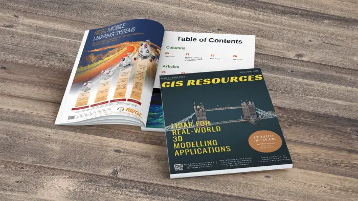
Following are the articles published in this edition:
- How YellowScan LiDAR System Contributed to Archeological Prospecting and Exceptional Heritage Management – YellowScan
- Freeze It While It’s Hot! Insights from a Fire and Explosions Visualisation Expert – Leica Geosystems
- Behind the Scenes: Creating a Handheld LiDAR and Photogrammetry Toolkit – Pix4D
- How Miami Beach Digitized Seawall Using TrueView – GeoCue Group Inc.
- How AI and Aerial Imagery Can Improve Damage Assessments in Agricultural Insurance – Ceres Imaging
- An Interview with – Ashish Airon, Director at Pixel Vision