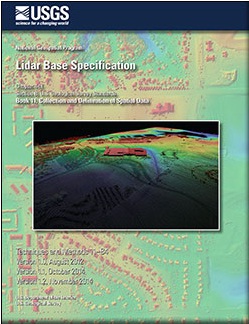
Lidar Base Specification
By Hans Karl Heidemann
 Abstract
In late 2009, a $14.3 million allocation from the “American Recovery and Reinvestment Act” for new light detection and ranging (lidar) elevation data prompted the U.S. Geological Survey (USGS) National Geospatial Program (NGP) to develop a common base specification for all lidar data acquired for The National Map. Released as a draft in 2010 and formally published in 2012, the USGS–NGP “Lidar Base Specification Version 1.0” (now Lidar Base Specification) was quickly embraced as the foundation for numerous state, county, and foreign country lidar specifications.
Prompted by a growing appreciation for the wide applicability and inherent value of lidar, a USGS-led consortium of Federal agencies commissioned a National Enhanced Elevation Assessment (NEEA) study in 2010 to quantify the costs and benefits of a national lidar program. A 2012 NEEA report documented a substantial return on such an investment, defined five Quality Levels (QL) for elevation data, and recommended an 8-year collection cycle of Quality Level 2 (QL2) lidar data as the optimum balance of benefit and affordability. In response to the study, the USGS–NGP established the 3D Elevation Program (3DEP) in 2013 as the interagency vehicle through which the NEEA recommendations could be realized.
Lidar is a fast evolving technology, and much has changed in the industry since the final draft of the “Lidar Base Specification Version 1.0” was written. Lidar data have improved in accuracy and spatial resolution, geospatial accuracy standards have been revised by the American Society for Photogrammetry and Remote Sensing (ASPRS), industry standard file formats have been expanded, additional applications for lidar have become accepted, and the need for interoperable data across collections has been realized. This revision to the “Lidar Base Specification Version 1.0” publication addresses those changes and provides continued guidance towards a nationally consistent lidar dataset.