
Tag "3D Modelling"

GIS Resources Magazine (Issue 2 | June 2022): LiDAR For Real-World 3D Modelling Applications
GIS Resources is pleased to announce the publication of its 2nd edition (June 2022) of the print and digital magazine. The edition titled “LiDAR For Real-World 3D Modelling Applications.” The LiDAR
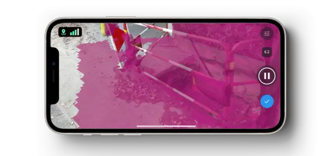
Pix4D Launches New Ground Image Capture App for 3D Modeling With the iPad Pro and iPhone 12 Pro
Pix4D, the photogrammetry industry leader, announces today the release of a new app product for ground images acquisition: Pix4Dcatch. Pix4Dcatch empowers users to easily create ground-based 3D models using an
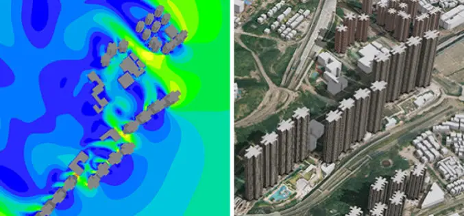
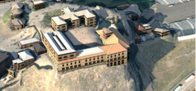
New 3D Mapping Technology for Smart City Development
The two most commonly used 3D mapping techniques are photogrammetry using satellite or aerial imagery, and laser scanning. The former offers greater accuracy in the horizontal direction and the latter
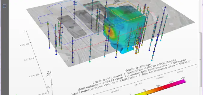
PDF3D Provides Access to the Fourth Dimension in C Tech’s New 4D Visualisation Tool
In the latest major release, C Tech Development Corporation (CTECH) announced Earth Volumetric Studio, a rich modular environment with embedded 4D PDF generation based on PDF3D systems. The latest offering
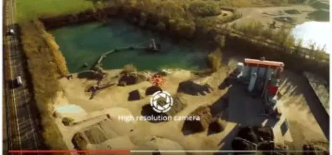
5 Drones for Precision Agriculture on Geo-matching.com
Drones (also known as Unmanned Aerial Vehicles) are used for various applications such as surveying, surveillance and habitat mapping. An interesting new application is precision agriculture. Drones can be used

senseFly and Maptek Sign Agreement Around Data Collection and Analysis Solution
Swiss professional drone maker, senseFly, has recently signed an agreement with Maptek, experts in precision measurement and visualisation for the mining industry, that enables Maptek to offer its customers a
3D Modelling of Highly Conductive Massive Sulphide Bodies
3D Modelling of Highly Conductive Massive Sulphide Bodies Tuesday, September 13, 2016 | 4:30pm – 5:30pm Toronto/EDT The Canadian Exploration Geophysical Society is pleased to invite you to their next
New 3D Modelling Application to Save Money and Time
The most accurate and up-to-date geographic data now available for the first time in new application suitable for BIM projects. OS Model Builder is a new visualisation tool that can
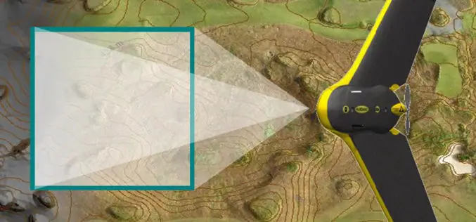
The 5 most viewed UAVs for Mapping and 3D Modelling on Geo-matching.com
The Geo-matching.com website features a selection of the most important geomatics equipment, including UAS for Mapping and 3D Modelling. At www.geo-matching.com you find product specifications, videos, brochures and more. Geo-matching.com

Lectures by Experts – 55th Photogrammetric Week
Welcome at the 55th Photogrammetric Week Sept. 7 – 11, 2015, at the University of Stuttgart The Institute for Photogrammetry of the University of Stuttgart and the OpenPhoWo partners would
