GIS & Decision Support Scenarios to Mitigate the Impact of Urban Flooding
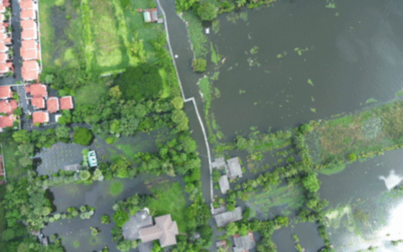
A short spell of rain is enough to create chaos on roads in most urban areas in cities. Assurances by local authorities about preparedness to meet exigencies arising out of short bursts of heavy rain and during monsoons are proven inadequate time and again.
Every year it is the same. Urban roads turn into rivers and drains soon overflow. Public & private road transport is thrown out of gear causing great inconvenience to commuters. The worst affected are those seeking to reach hospitals, airports, railway stations etc.
As is often said, preparedness is the best way to reduce the debilitating impact of urban flooding. GIS is a tool that can be used to prepare for various scenarios that the phenomenon of urban flooding can lead to. Inputs such terrain, drainage pattern, rainfall pattern, urban infrastructure, population density etc can be used to create models to assess the possible impact of rainfall over time in urban areas.
Current mobile platforms are sophisticated enough to enable applications to be built to create ‘Decision Support Scenarios’ so that a user has the capability to decide what to do it such situations.
Govt departments, municipalities, Survey of India, State Remote Sensing Agencies and other such organisations must come forward to build ‘Decision Support Scenario’ applications or put them up on their websites for stakeholders to use. Technology can help cities to create smart infrastructure for citizens to help mitigate their problems when faced with the phenomenon of urban flooding.
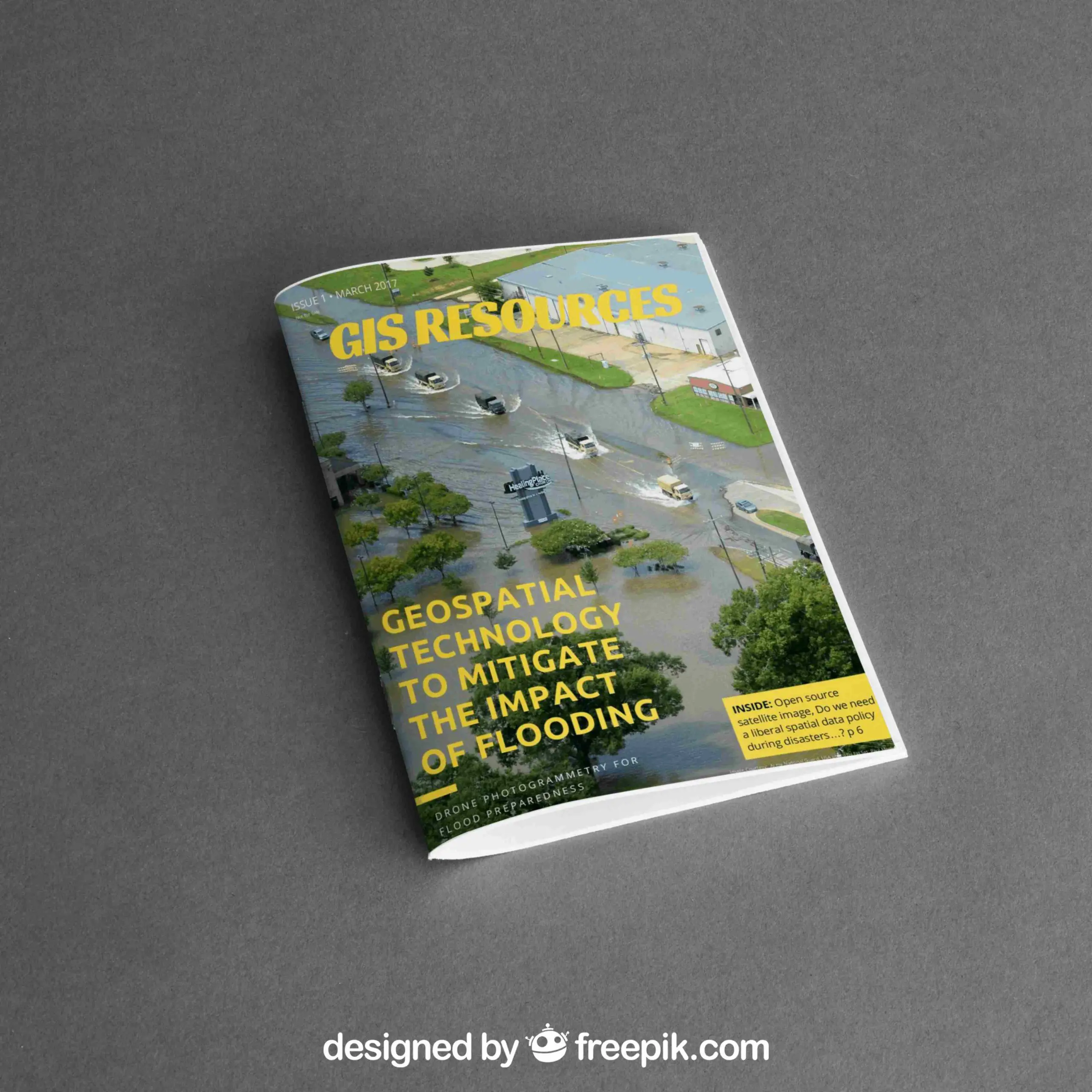
The March 2017 edition of GIS Resources magazine had published many interesting articles on the role of Geospatial Technologies in the mapping, mitigating urban floods. List of the articles published is follows
- Open Source Satellite Images in Flood Monitoring. Do We Need a Liberal Spatial Data Policy During Disasters…?
- Storm Water Modeling and Flood Disaster Management Using Open Source Software.
- Application of Remote Sensing and Geographical Information Systems in Flood Mapping Management
- Training and Capacity-Building in LiDAR : Enabling Multiplier Effect Across the Philippines.
- Drone Photogrammetry for Flood Preparedness.
- LiDAR Technology in India: Opportunities, Challenges, and Approach.