
Tag "UAV"

Trimble Introduces New Direct Georeferencing Portfolio for UAV Mapping
Trimble (Nasdaq: TRMB) has announced the launch of premium direct georeferencing solutions for mapping sensors on uncrewed aerial vehicles (UAVs) – the Trimble® APX RTX portfolio. When used by original
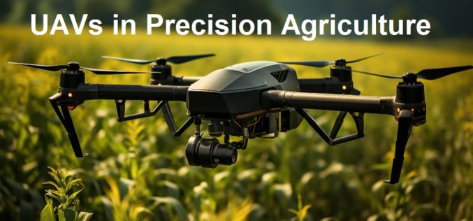
Free Course Offered by ITC on UAVs in Precision Agriculture
Are you fascinated by the role of UAVs in modern precision agriculture? If so, this comprehensive and free online course is designed for you! Tailored by UAV remote sensing experts,
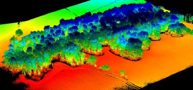
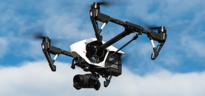
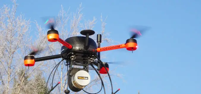
UAV LiDAR Technology in Forest Management
This case study from Routescene demonstrates the value of UAV LiDAR derived point cloud data for operational forest management.
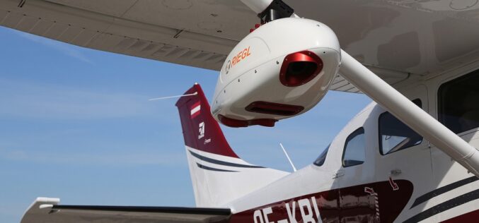
RIEGL Presents New Products at INTERGEO 2021
INTERGEO is back LIVE in Hanover this year – and RIEGL presents the latest developments in hardware and software at booth 20C.22 in hall 20 but also digital at the

Pix4D Announces Entering Into An Exclusive Reseller Partnership With Beijing Skymap Technology Co., Ltd. For Mainland China
Pix4D, the photogrammetry industry leader, today announced the signing of an exclusive reseller partnership with Beijing Skymap Technology Co., Ltd. a high-tech enterprise integrating software sales, service, research and development,
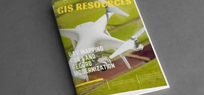
GIS Resources Magazine (Issue 1 | March 2021): UAV Mapping for Land Record Modernization
GIS Resources is pleased to announce the release of its 1st edition (March 2021) of the print and digital magazine. The edition titled “UAV Mapping for Land Record Modernization” focuses on the

INTERGEO 2020 DIGITAL, October 13-15, 2020: RIEGL Presents Their New Products 2020
2020 is a very special year – COVID-19 has taught us to think in new dimensions and to work in new spheres. Nevertheless, RIEGL does not want to break with
Centrik and Flock Sign Strategic Alliance to Deliver Data-Driven Reduced Risk Operations for The Drone Sector
Operational management system supplier Centrik and specialist drone and eVTOL insurance provider Flock have formed a strategic alliance to raise safety standards and reduce risk in commercial drone operations.

GIS Resources Magazine (Issue 4 | December 2019): Role of Geospatial Technologies in Urban Design Redevelopment
GIS Resources Magazine (Issue 4 | December 2019): Role of Geospatial Technologies in Urban Design Redevelopment GIS Resources is pleased to announce the release of its 4th edition (December 2019) of
Unmanned Aerial Vehicles (UAVs) Have Arrived as A Reliable Geospatial Technology
The large scale adoption of Unmanned Aerial Vehicles in the last decade for Geospatial Data capture has brought about a radical change in the accuracy, speed and timeliness
