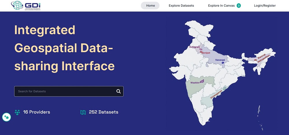
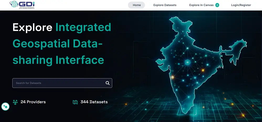
The Ministry of Science and Technology recently launched the Integrated Geospatial Data-sharing Interface (GDI), a new initiative to streamline access to geospatial data in India. The announcement was part of the wider Operation Dronagiri, a campaign focused on harnessing technology for enhanced spatial data sharing and application.
The launch took place on November 14, 2024, marking a significant step in India’s geospatial development efforts.
Key Features of Geospatial Data Interface
The Geospatial Data Interface is designed to be a central hub for accessing a wide range of geospatial datasets, covering areas such as urban planning, agriculture, disaster response, and infrastructure management. By integrating multiple data sources, the Geospatial Data Interface allows for the efficient sharing and visualization of spatial information. This interface is expected to foster greater collaboration between government agencies, research institutions, and private stakeholders.

The primary objective of the Geospatial Data Interface is to promote data interoperability and standardization, making it easier for users to access accurate and timely geospatial data. The platform offers tools for data visualization, analysis, and mapping, which can support better decision-making in various sectors. This aligns with India’s push towards enhanced technological infrastructure and smart governance.
Operation Dronagiri’s Role
Operation Dronagiri aims to modernize India’s geospatial capabilities by deploying advanced technologies for data collection and dissemination. This initiative is seen as a response to the growing need for accurate spatial data in the face of rapid urbanization, climate change, and the increasing frequency of natural disasters. The project seeks to use innovations such as drones, satellite imagery, and other remote sensing technologies to create a robust Geospatial Data Interface ecosystem.

The launch of the GDI is a crucial part of this strategy, providing a unified platform to collect, store, and distribute data gathered through Operation Dronagiri. The integration of these technologies is expected to improve emergency response times, enhance agricultural practices, and support sustainable development goals.
Impact and Future Prospects
The establishment of the Geospatial Data Interface is a major step in India’s journey toward a more connected and data-driven future. It is expected to reduce redundancies in data collection, lower operational costs, and improve the efficiency of various public and private sector projects. With the launch, the Ministry of Science and Technology has emphasized the importance of open and accessible data for fostering innovation and enhancing the nation’s geospatial intelligence.
Moving forward, the focus will be on expanding the capabilities of the Geospatial Data Interface, encouraging more stakeholders to participate in data-sharing, and ensuring the platform’s usability for diverse applications. This initiative is part of India’s broader digital transformation strategy, which aims to leverage technology for economic and social progress.
For more information, you can read the official press releases on the PIB website and Vision IAS.


