New Digital Map of Underground Pipes and Cables for the United Kingdom
Ordnance Survey, the national mapping agency for Great Britain, has partnered with Atkins, 1Spatial, GeoPlace, and the Greater London Authority (GLA) to support the release of a new digital map of underground pipes and cables for the UK. The consortium is working for the Geospatial Commission in pushing ahead with the delivery of the first phase of the National Underground Asset Register (NUAR) in April.
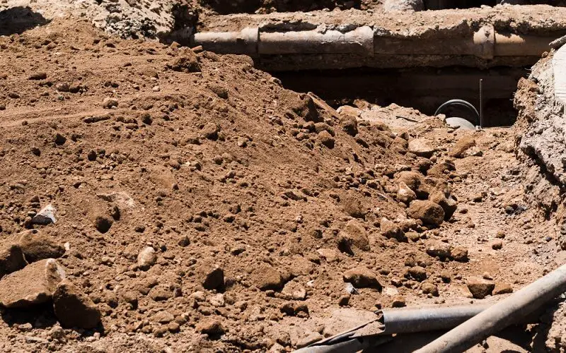
NUAR is a unique digital map exclusively to install, maintain, operate, and repair the pipes and cables buried beneath the earth for the geographies of England, Northern Ireland, and Wales.
The aim of the NUAR is to create a comprehensive and accurate digital map of underground pipes and other infrastructure such as cables, sewers, gas mains, electricity lines, and other assets.
The comprehensive and up-to-date digital maps of the country’s underground infrastructure, provide engineers, contractors, and utility companies with a valuable tool to plan and manage their work more efficiently. The digital map is set to revolutionize the way infrastructure is managed in the UK, ensuring that essential services are delivered promptly and effectively.
By collating this information into a single database, the NUAR will enable better coordination of construction and maintenance works, reducing the risk of damage to underground assets and improving safety for workers and the public. The NUAR is still in development, but once completed, it will provide a valuable resource for infrastructure management in the UK.
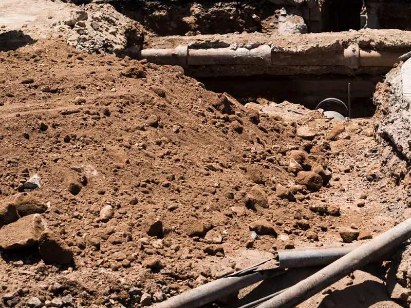
Image by Freepik
Execution strategy
The U.K. government estimates that accidental strikes on the pipes and cables beneath our feet cost the UK economy £2.4 billion each year and put workers’ safety and lives at risk. Mapping the locations of underground assets will make construction and development more efficient, reduce disruption and improve employee safety.
The first phase of NUAR comprise of the minimum viable product’ (MVP), has been launched covering North East England, Wales, and London, and future releases of the platform will cover the rest of England and Northern Ireland. The new mapping platform contains data from public and private organizations that own the pipes and cables for the geographies of Northeast England, Wales, and London.
This includes all of the major energy and water providers, such as Northumbrian Water, Wales and West Utilities, Southern Electric Power Distribution, National Grid, telecommunications companies, transport organizations, and local authorities.
Key tasks and benefits
The key task has been building the platform’s functionality to enable over 650 different underground asset owners in the UK to be able to exchange their data accurately and securely. Ordinance Survey has played a major role in designing the specific data model along with NUAR and described it as “the ‘Model for Underground Data Definition and Integration’ or MUDDI.
It enables the clear and accurate visualization of vital cables and pipes which will ultimately reduce strikes and costs. By using the power of location data to plan and deliver street works more effectively. NUAR will help improve efficiencies in construction and development and is envisaged to deliver at least £350 million in economic growth per year.
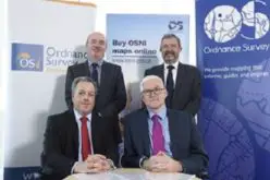
Source: Ordnance Survey
Also Read –
Geospatial Technologies for Utilities Mapping & Monitoring